Day 175 – August 29 – 15.1 miles – Monson ME to Long Pond Lean-to
Elevation Change: 5958 feet
The Tramily went over to eat at Pete’s Place, the breakfast place next door. After filling our stomachs, we got our gear together and got ready to get back on the trail.
Monson was a nice little town. It’s hard to believe that the next time we’ll be in a town will be after we summit Katahdin.
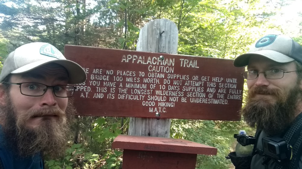
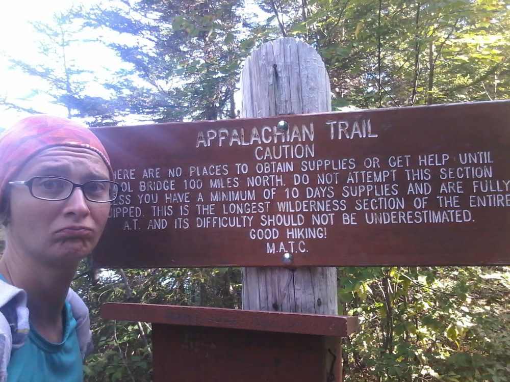
The hostel gave us a ride back to the trail head, where we were greeted by this sign.
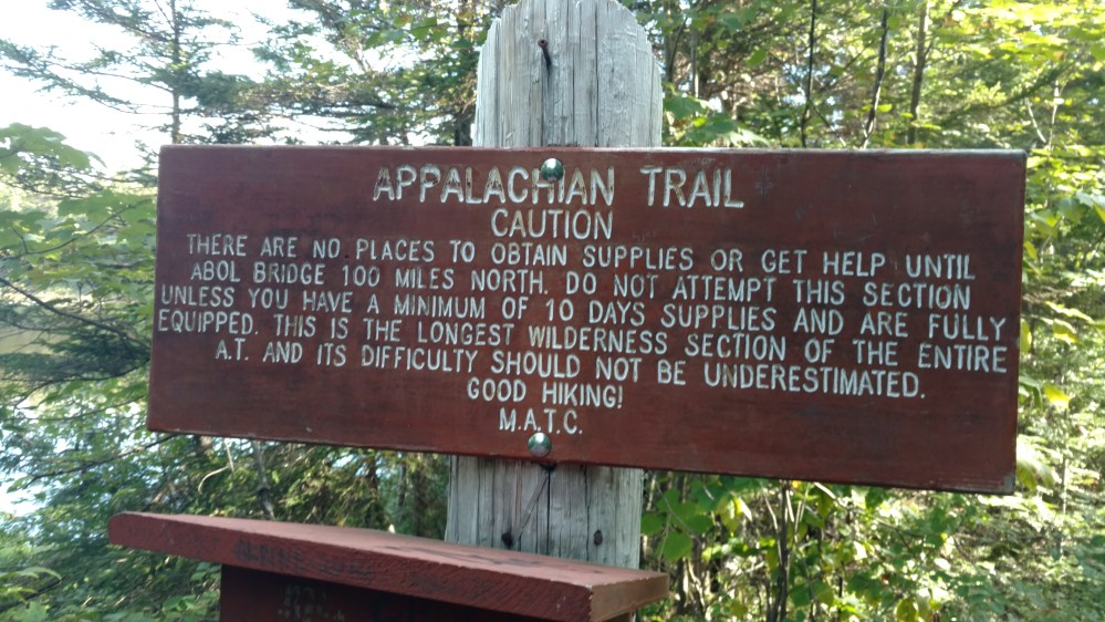
We were entering the famous 100 mile Wilderness. Technically it should be called the 99.4 mile Mostly Wilderness, but that doesn’t look as good in the tourism pamphlets.
Either way, it was a major milestone in our trip. The hundred mile wilderness was often talked about in the hiking community. It was exciting to finally get here.
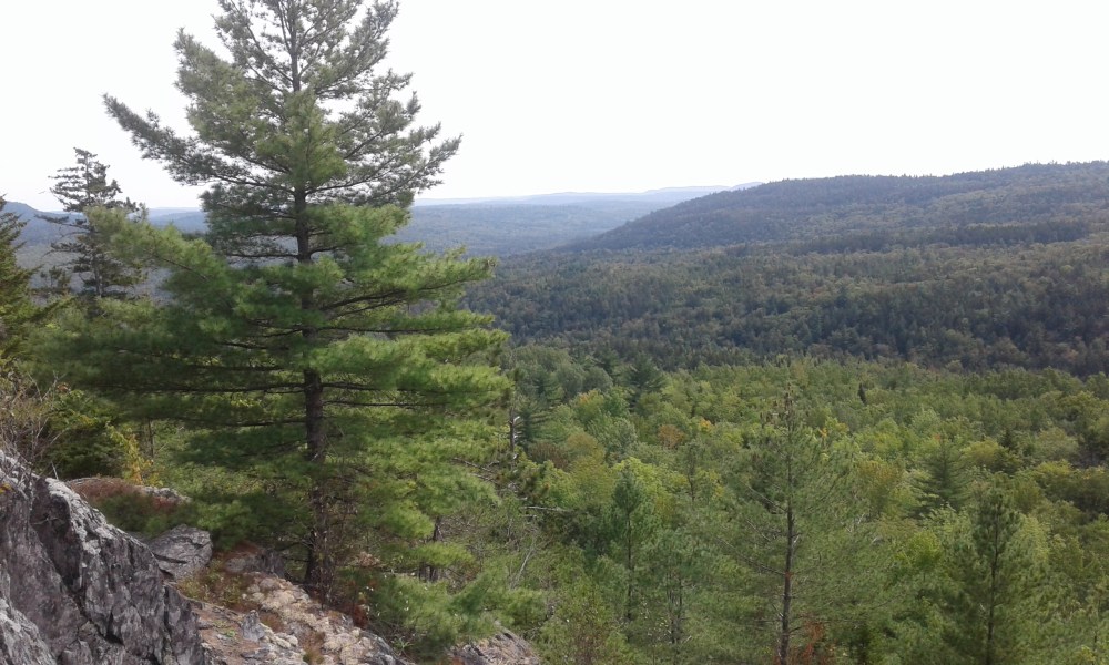
The trail undulated up and down all day. We didn’t go over any mountains to speak of, but we did go over many hills. It wasn’t exactly a cake walk.
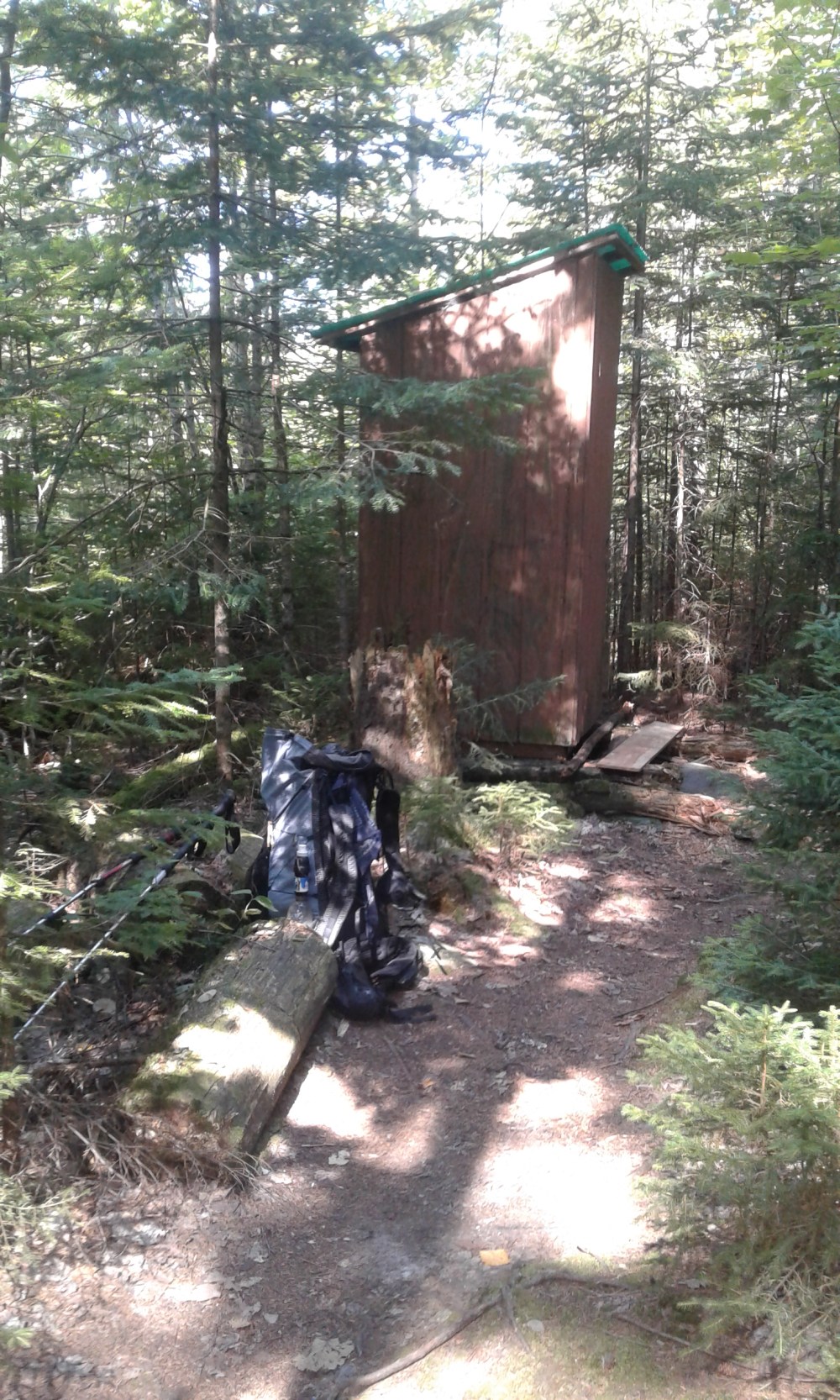
One thing I may not have mentioned yet, was that since very early on in the trip we could identify people by their backpacks. If we saw a hiker off in the distance we couldn’t see their faces put we could see their packs. It helped in other situations as well. Like in the picture below. Just by looking at the pack, most Thru hikers could tell that Stoat was using the privy.
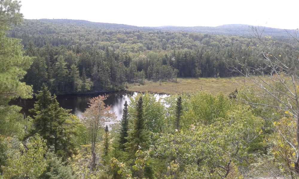
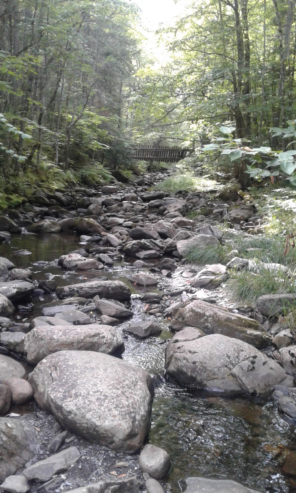
One thing that the 100 mile wilderness is famous for is its ponds, rivers, and lakes. A theme that was established almost immediately.
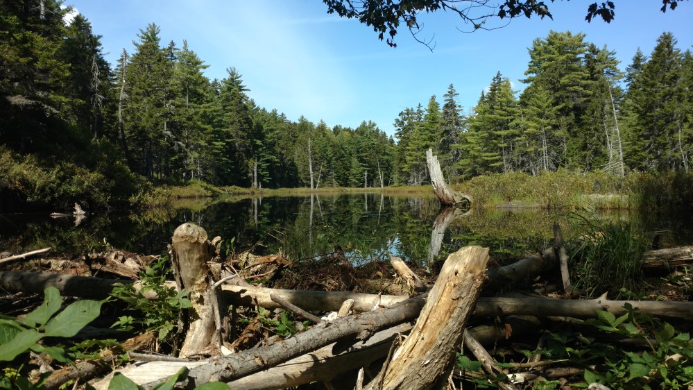
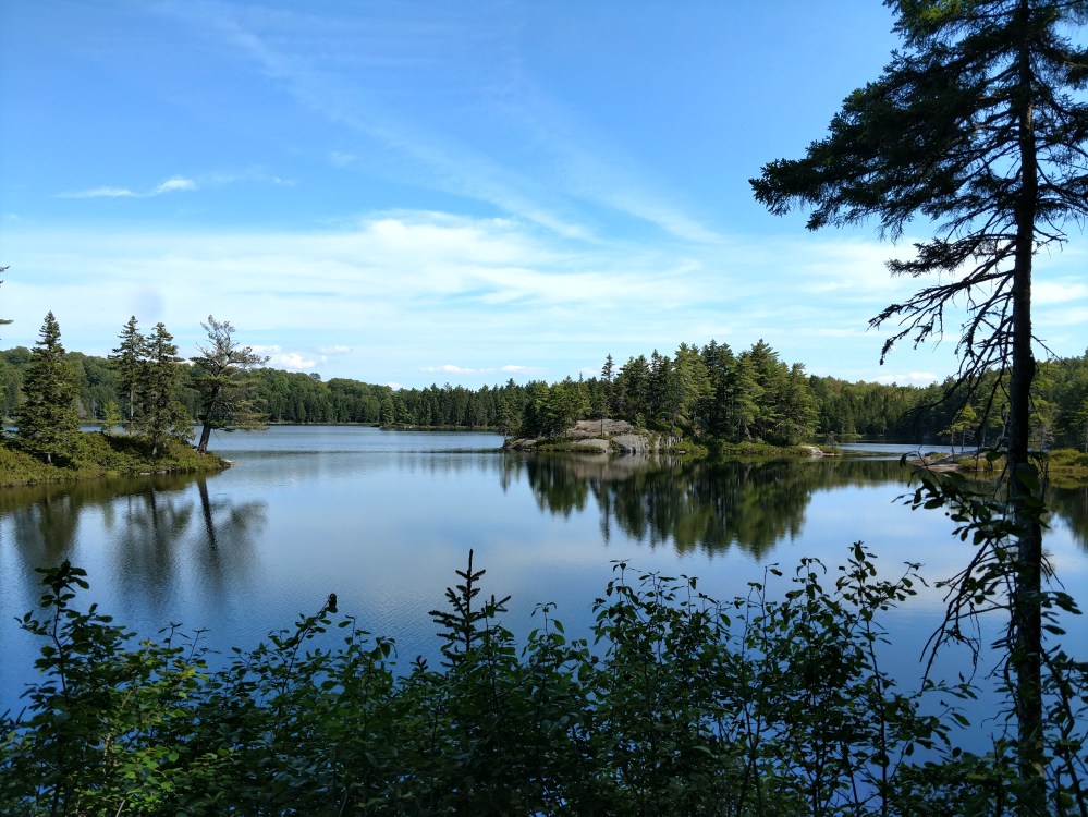
In fact, most of the interesting things that we saw today involved water.
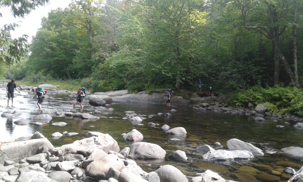
Towards the end of the day we passed a group of college kids taking a break along the side of the trail. We stopped to talk to them for a minute or two. We found out that they were out in the hundred mile wilderness for a few days, as part of a college run activity.
Right after passing them, we came to the Big Wilson Stream. At first it looked like we would have to get our feet wet. Upon further review it looked like there might be a spot where we could rock hop across.
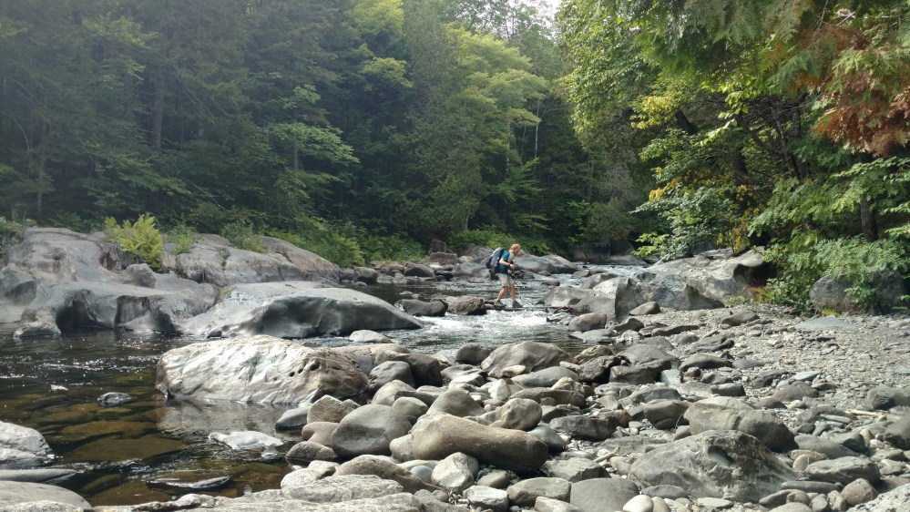
Once we got across, the college kids began to cross where we originally thought we might have had to cross. While we crossed without getting our feet wet, their route was sure to leave them with a sense of adventure.
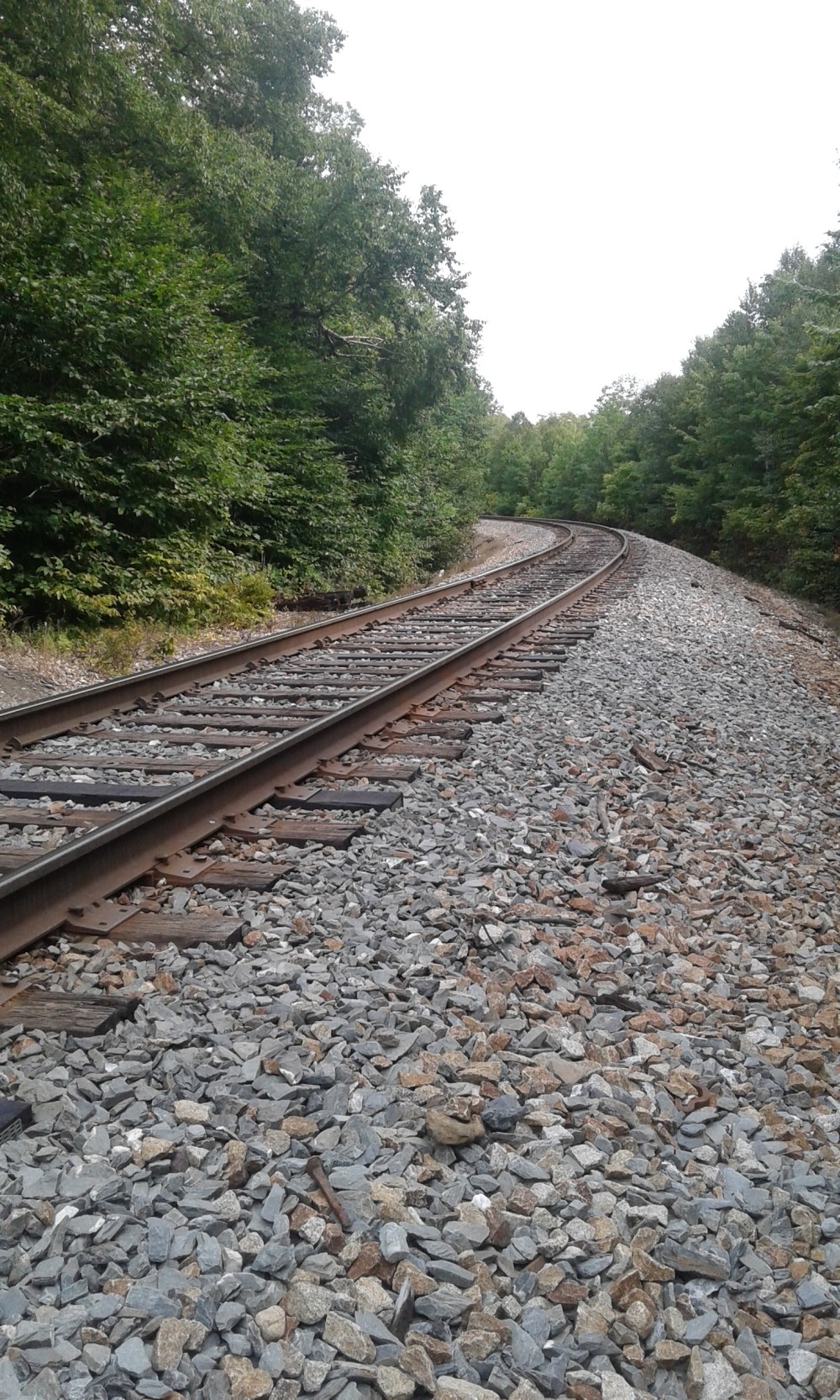
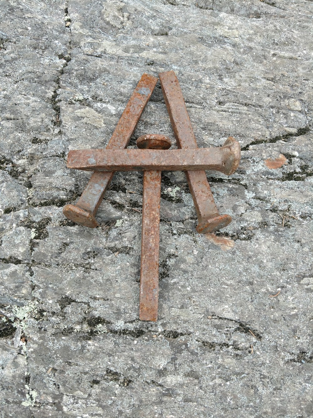
After the stream crossing, we crossed over a “wild” set of train tracks. Every time we saw something that didn’t fit into our definition of something that should be in a “wilderness”, we made jokes about it. It was all in good fun. We knew, going in, that there would be some non wild areas of the 100 mile wilderness.
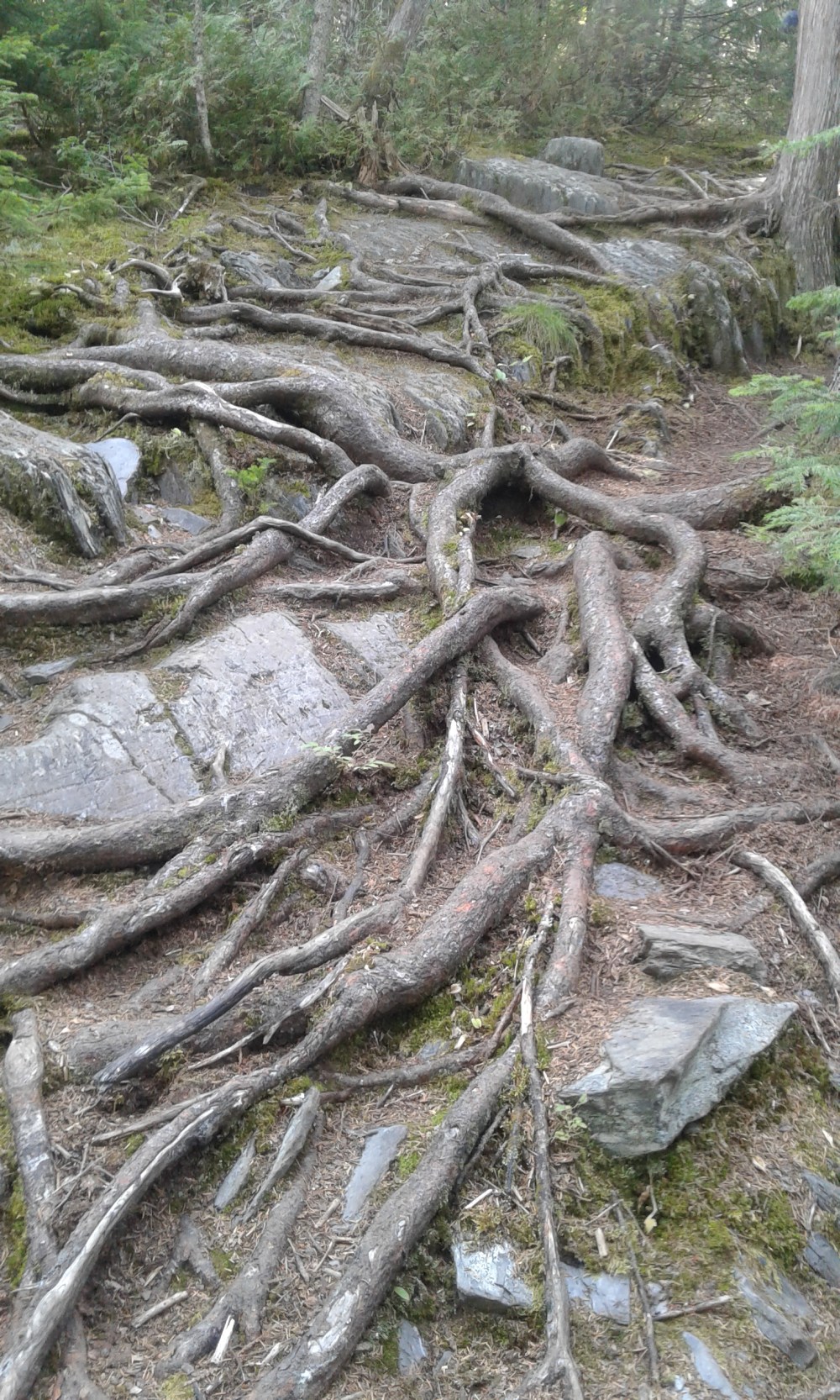
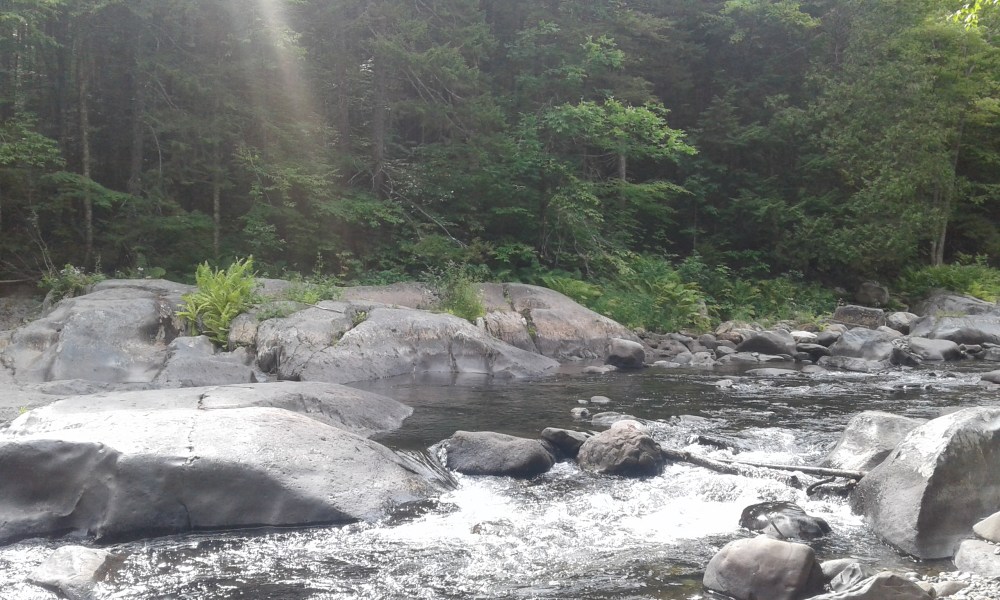
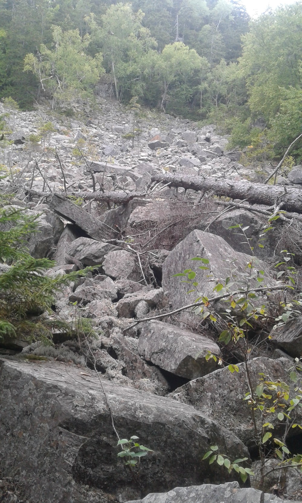
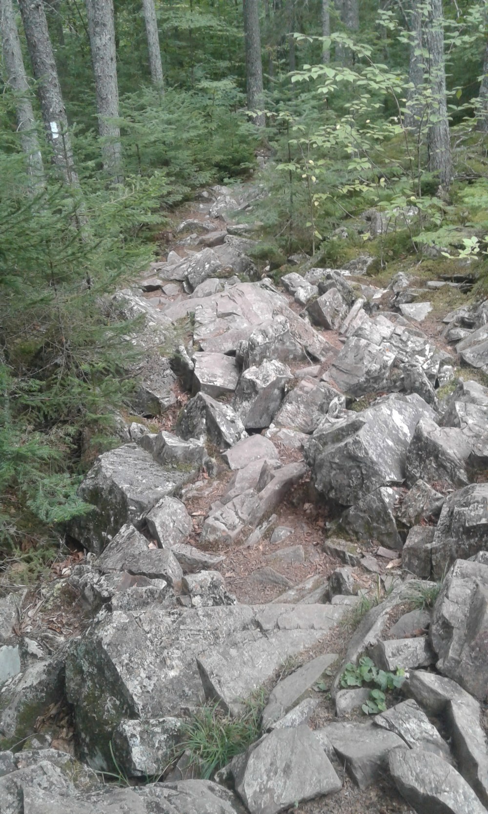
A mile or two after the train tracks, we came to an area that was the result of an old rock slide.
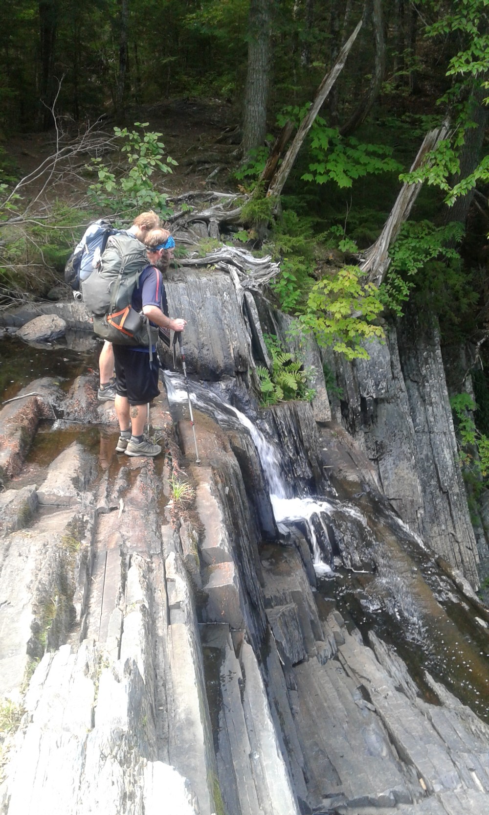
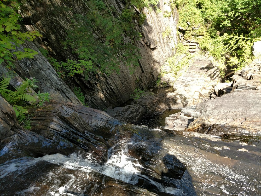
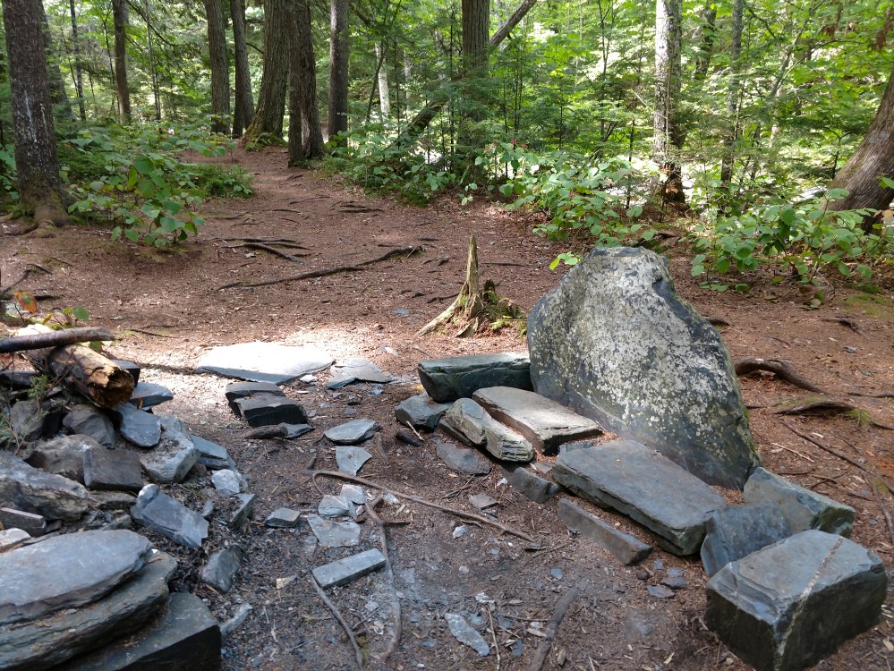
After passing the rock slide area, we crossed a few more streams before heading uphill towards the shelter we were going to stop at. We noticed in the guide book that the last stream we crossed was the water source for the shelter. If we didn’t fill up now, we would have to hike back downhill to get water. To get the the stream we had to make our way down into a rocky valley. The area was called Slugundy Falls. When water levels were at normal height it probably looked impressive. Right now it just looked like a nice place to fill our water bottles.
On our way up to the shelter, We saw Flashfire coming back down the hill towards us. She had not filled up before going to the shelter, and had to hike back down to get water. She wasn’t happy about it.
When we got to the shelter, we met some Thru hikers that we had never seen before. It crazy that, this late in the game, we are still meeting new hikers.
99.4 miles to go.
________________________________________
