Day 153 – August 7 – 6.4 miles – Crawford Notch to Mizpah Spring Campground
Elevation Change: 4019 feet
After eating breakfast at the hotel, we hit the road. The plan was to walk through town with our thumbs out, and hopefully someone would pick us up.
After only a few minutes, the four of us got picked up. The driver worked on the other side of town and offered to bring us over there. Well, it was a start.
A few minutes after we were dropped off, another driver offered us a ride to the trail. The catch was that we would have to wait for him to conduct a 20 minute business meeting.
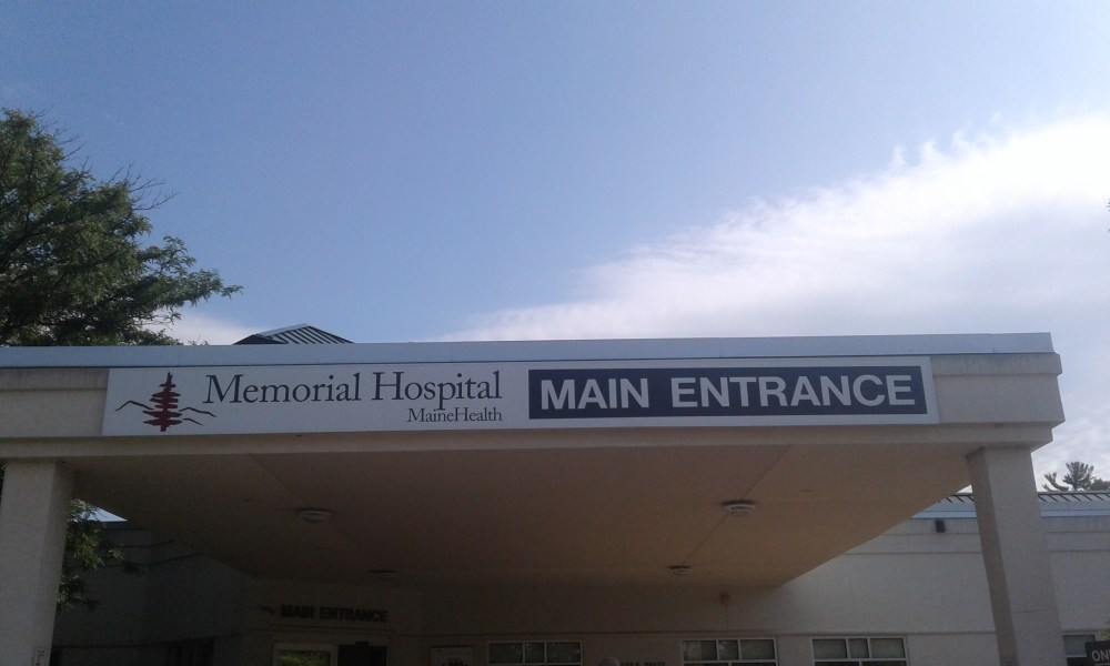
So, that’s how we wound up hanging out outside the local hospital.
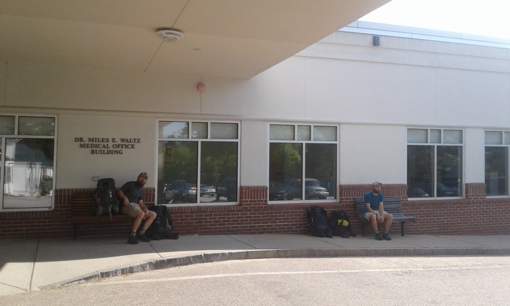
Dan, the driver, was a medical device rep who, after this meeting, had the rest of the day off.
When he got out of the meeting, the four of us crammed into his car. We were off!
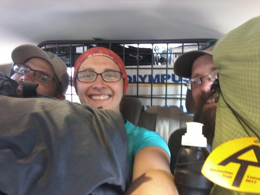
We got back to the trail at 10:20. Once again, we were thankful that we didn’t plan a long day
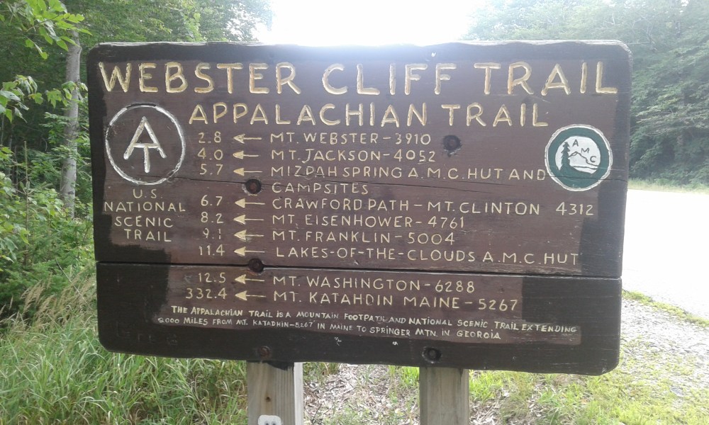
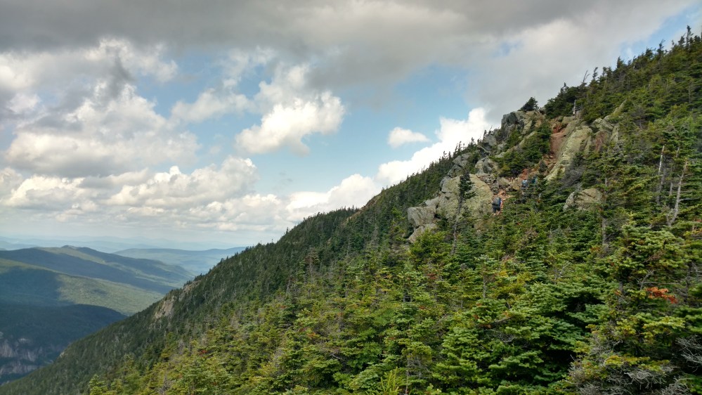
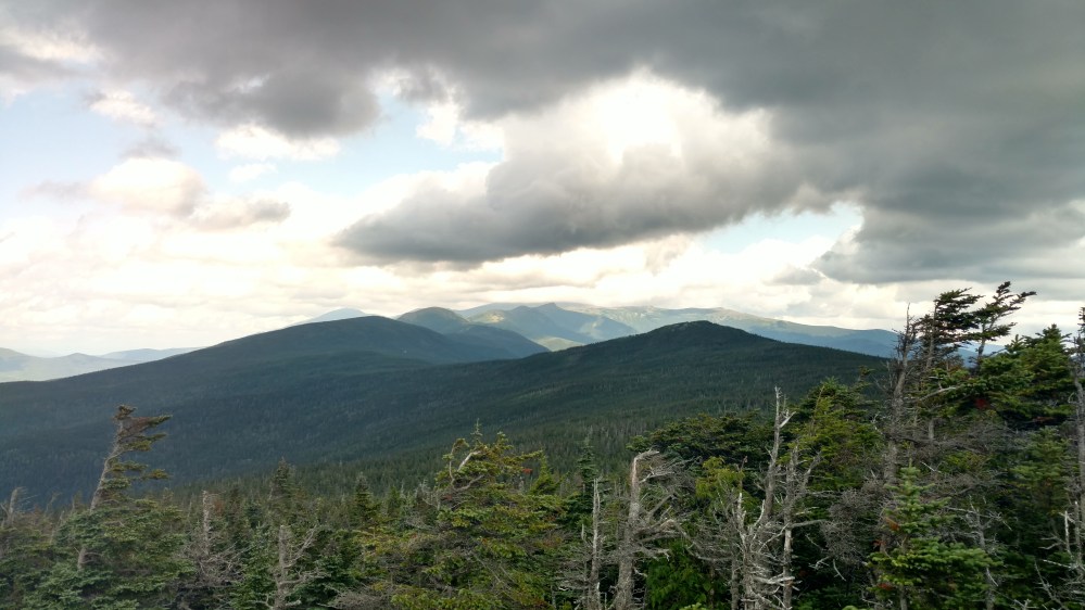
From the parking lot, the trail climbed steeply up the side of mount Webster. 1.9 miles into the climb, we came to Webster Cliffs. The view into the valley below was incredible.
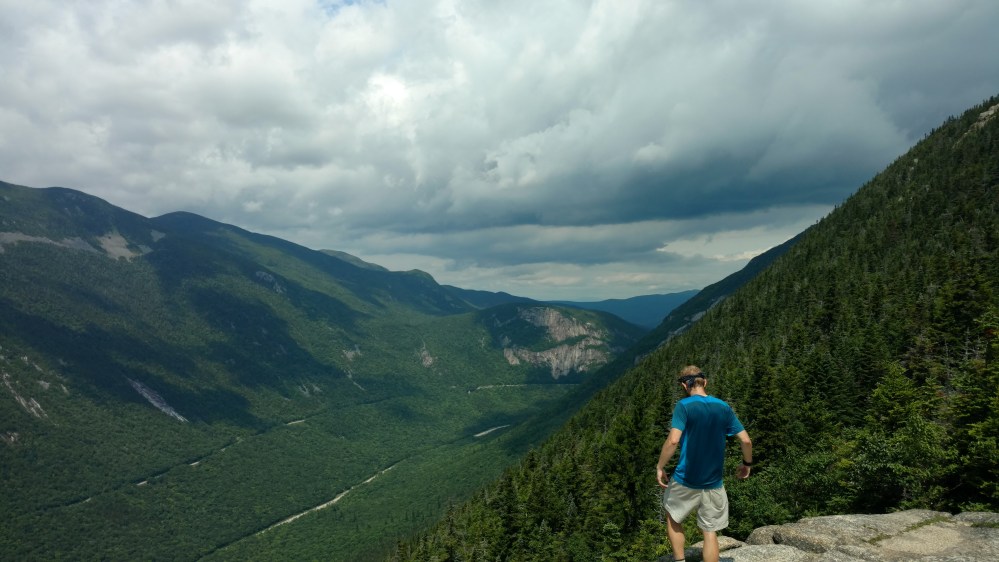
After leaving Webster Cliffs, we had a few places where we had to climb hand over hand. The sections were never very long, and it was a nice to feel like we were actually “climbing” a mountain.
When we got to the top of Mount Webster, we had a view of the presidential range. Most of the range was visible except for the top section of Mt Washington. Which was still over 2000 feet higher than us.
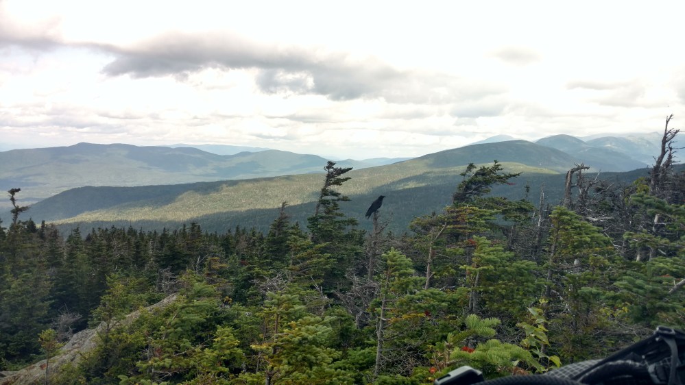
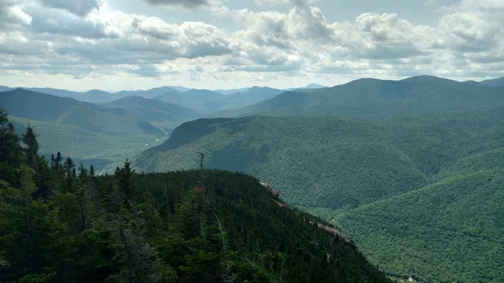
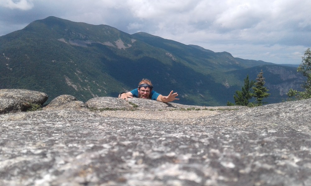
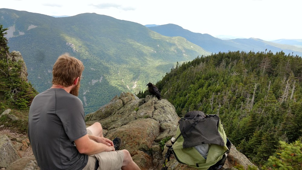
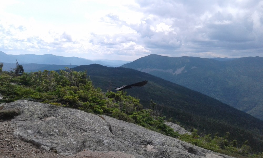
The main draw of Mount Webster were the steep cliffs on its peak. The Tramily decided to stop for lunch and enjoy the view.
There was a raven that was in the area, and it didn’t seem to mind people at all.
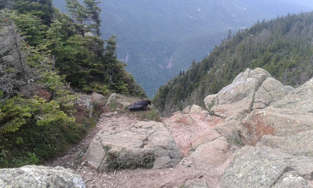
The raven wound up hanging out on the edge of the cliff. About three feet from where I was sitting. It was probably expecting me to throw it some food, but it didn’t fly away when it became obvious I wasn’t going to give it anything. It seemed content to visit for a while.
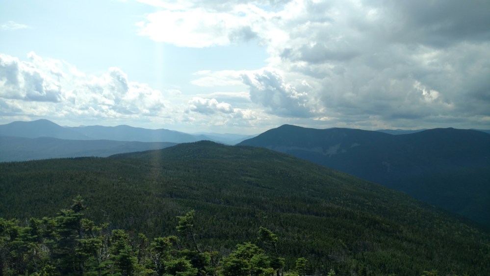
From Mount Webster we had a quick 1.4 mile hike to the peak of Mt. Jackson. The views were similar to Mount Webster except now we could see the Mizpah Hut off in the distance.
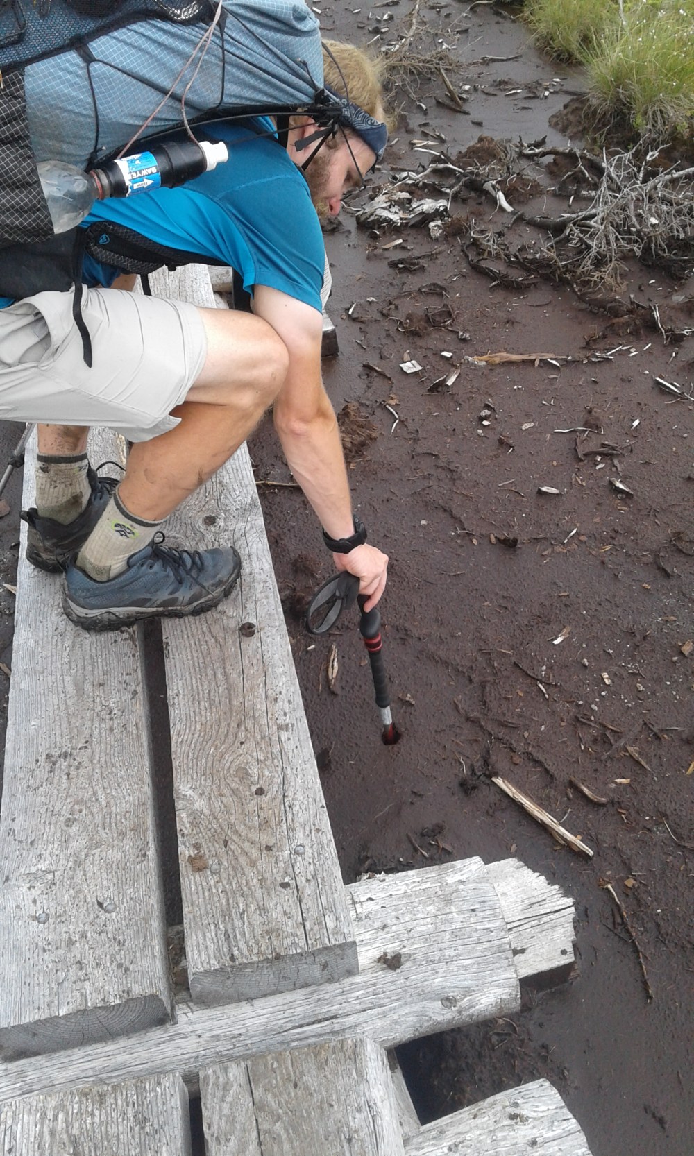
After leaving Mt. Jackson we went through an alpine bog.
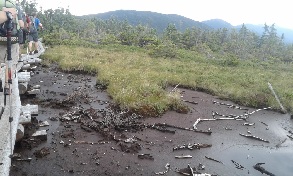
There was a boardwalk that traversed a very muddy area. Stoat put his trekking pole into the mud to see how deep it was. It just kept going.
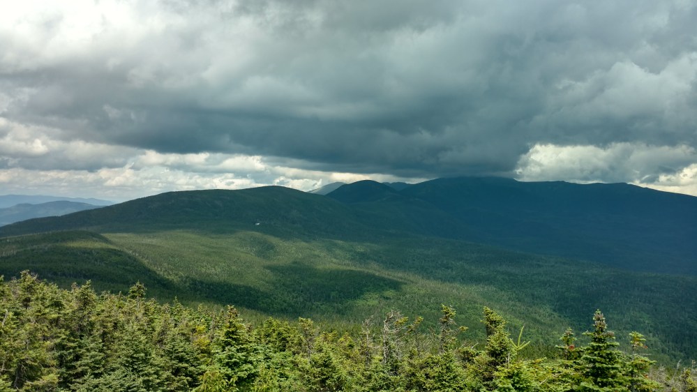
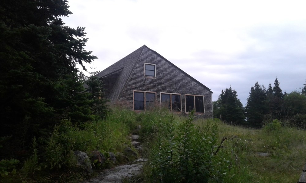
1.8 miles later we were at the Mizpah Hut. We had briefly considered hiking another 4.6 miles to the Lake of the Clouds hut, but the impending rain storm made us decide to stop while we were still dry.
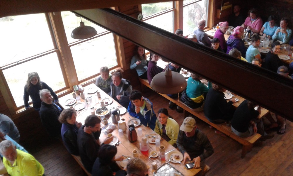
Zeus and Flashfire asked for, and got, work for stay at the Hut. Stoat and I had no interest in doing that, and decided to stay at the nearby campground instead.
Stoat and I were able to find some camping spots but we were not near each other. As Stoat was setting up his hammock, he began talking to a nearby camper. The camper was a SOBO Thru Hiker. He had climbed up the other side on the presidential range yesterday, and lived to tell the tale.
He got stuck going up Mt Madison. The wind kept blowing him down. He had to cling onto boulders and “hide” from the wind as well as he could. He said he was in fear for his life. After several hours of glacial progress, he made it the the Madison Hut.
When he got to Madison Hut, he was hurried inside by the staff. The Hut was temporarily classified as an emergency shelter. No one would be turned away.
There was no place to “turn away” to anyway. The entire Presidential Range was officially closed.
When Stoat told me the story, I said, ” Wow! Its good thing we took an extra zero.” I paused for a second then said,” It would have been a really cool experience though.” Stoat agreed.
Over the last few days, Stoat and I had been looking at the map of the AT in the Whites. Particularly the Presidential Range. I had noticed something peculiar about that section of the trail, and mentioned it to Stoat.
He said,” That can’t be right!”, and took a look at the map. It was correct alright.
Now we had to decide what we were going to do about it.
______________________________________________
