Day 154 – August 8 – 12.2 miles* – Mizpah Spring Campground to Stealth camp near Madison
Elevation Change: 9643 feet
_________________________________________
Over the last few days, Stoat and I had been looking at the map of the AT in the Whites. Particularly the Presidential Range. I had noticed something peculiar about that section of the trail, and mentioned it to Stoat.
He said,” That can’t be right!”, and took a look at the map. It was correct, alright.
Now we had to decide what we were going to do about it.
_________________________________________
What we had discovered was this:
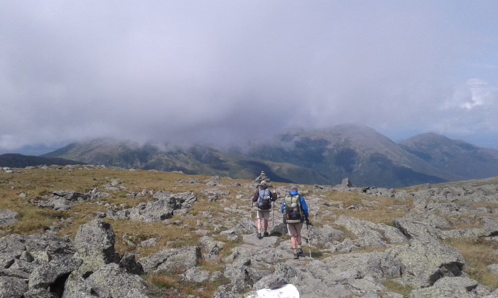
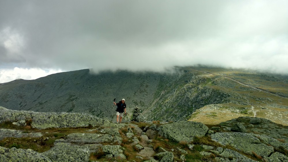
When the AT goes over the Presidential Range, it bypasses 5 of the 7 summits. There were trails that went over the summits, but for some reason, the AT didn’t follow those. What made it even stranger, was that the AT and the Summit trails paralleled each other, with only several hundred feet between them!
The AT is in Red and the Summit trails are in Blue


Stoat and I were torn. Up until now, we never thought of deviating from the trail. If we walked off trail to look at a view, we took the some route back, to avoid skipping even the smallest section of the AT. But what the AT was now asking us to do, seemed wrong. Why, after after 1850 miles of going over every stupid no view hill, would it divert us around some of the most interesting mountains on the trail?
What should we do?
The answer is in video form.

Zeus and Flashfire didn’t share our enthusiasm for hitting the peaks. They would hike the AT without deviating. It didn’t really matter, the trails were so close that we kept meeting up with them when we returned to the AT.
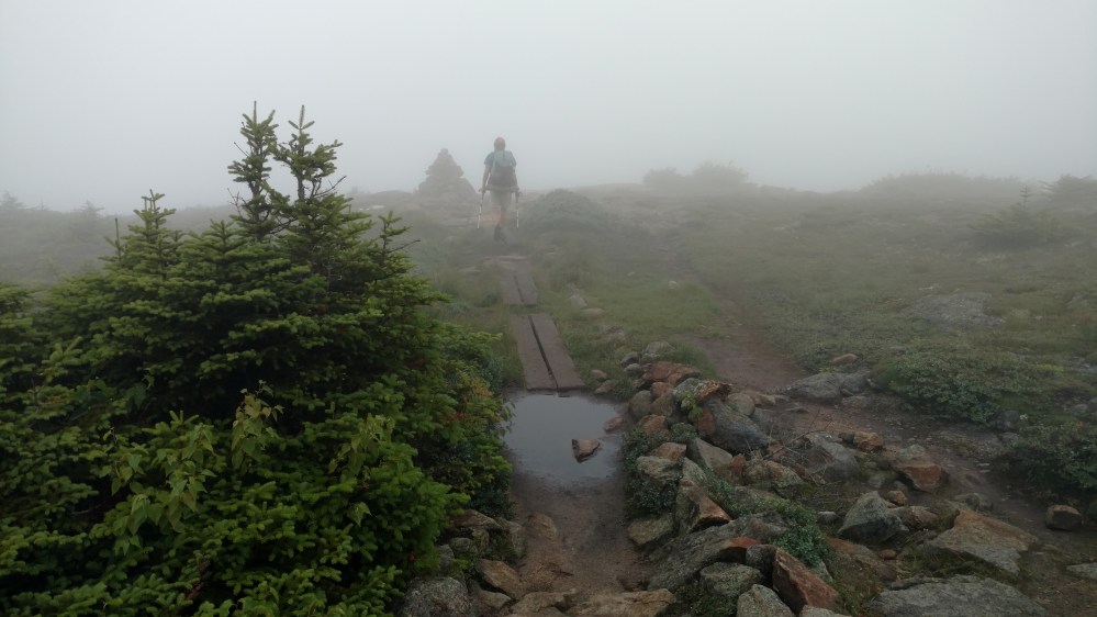
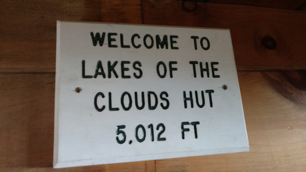
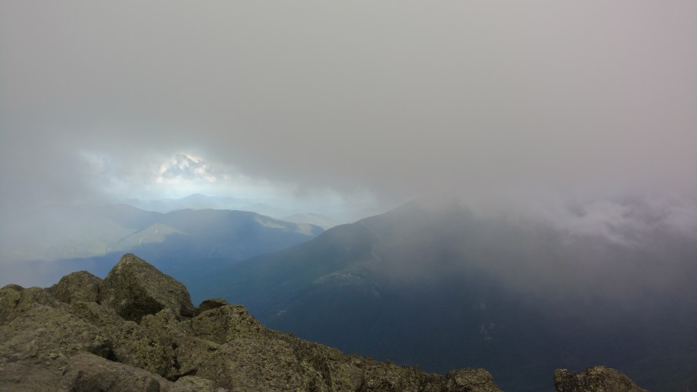
After going over Mt Monroe, we headed for the Lake of the Clouds Hut. The Lake of the Clouds hut is the most Famous of the huts in the Whites. With beautiful views of the small lake nearby, the summit of Washington, and the view into the valley below, it was supposed to be quite the sight. It was also the largest hut on the AT.
The fog was so thick, that would have missed it if the AT didn’t go right by it.
At the hut, we met back up with Zeus and Flashfire. They were enjoying some fresh baked goods and we decided to join them.
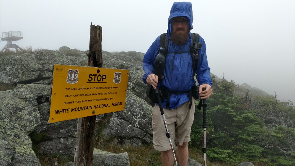
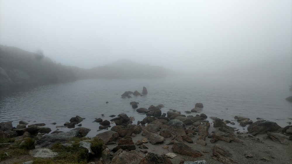
After leaving the hut the Tramily passed a warning sign and the barely visible lake.

After the lake, the trail began climbing steeply up a boulder field. About halfway up we passed a group of guys in their late teens / early twenties. They were stopped so one of them could get something out of their daypack. When we went by them, I had the feeling that they suddenly saw us as “the competition”.
A minute or two later they came charging up the mountain behind us. Following trail etiquette, The Tramily pulled off to the side to let them pass. After they went by, the Tramily shared a, “Oh no they didn’t ” look.
Everyone in the Tramily hiked at their own pace. If another Thru hiker came up fast, we pulled over. No problem. It wasn’t a competition. But to be challenged, by tourists none the less, that could not stand.
We picked up the pace and caught up to them. They sped up and didn’t let us pass. I thought, “We can keep this up all day guys. Can you?”
A few minutes later they pulled off to the side. Each one of them in various states of exhaustion. As we passed them, they smiled and shook their heads incredulously.
Maybe they knew we were Thru Hikers and wanted to see how they stacked up against us. Maybe they were just surprised that the funny looking people with larger packs were so much faster. Either way, it was all in good fun. If I was them, I’d probably would have done the same thing.
We returned the smiles and said, “See you at the top.”
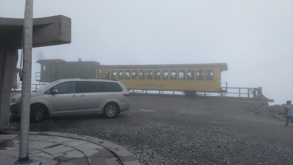
The bad news is that the top of Mt Washington is a tourist trap. There is a road that will lead anyone who wants to drive up, right to the summit.
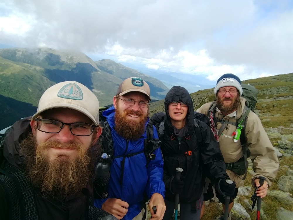
At the summit sign, there was a line of tourists waiting to take a picture with it. The Tramily went over to the line of people and then quickly decided to skip it.
Off to the side was a sign that noted that we were on Americas oldest mountain hiking path. It seemed a much more fitting place to take a group picture.


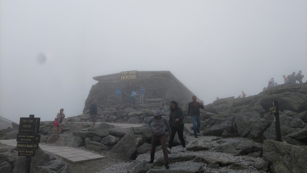
The good thing about the summit of Mt. Washington is that its a tourist trap with a food court. The Tramily grabbed a bite to eat there and hung out a while. We hoped that the sky would clear up and we would get a view. No such luck.
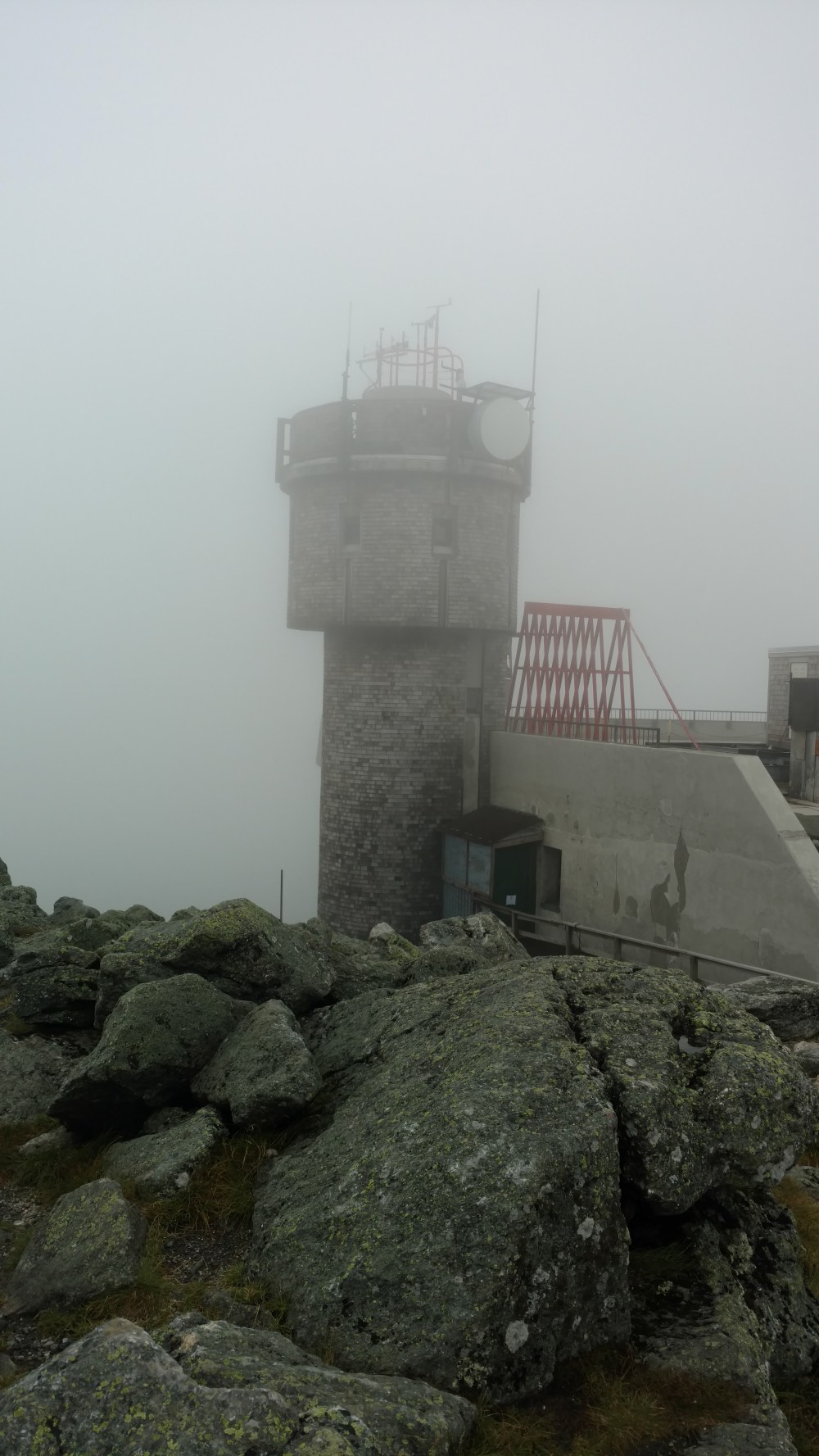
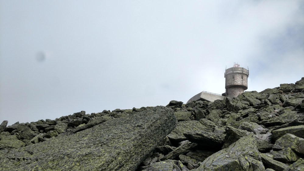
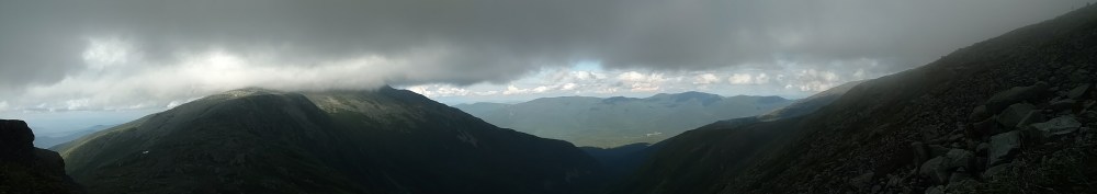
As we started to back down the other side of the mountain the skies began to clear. We looked back in the direction of the summit and had a clear view of the weather station. Oh well….


We soon crossed over the cog railway.

Not long after we crossed it, the rail car cane by. It’s tradition for Thru Hikers to moon the rail car went it went by. We were content with waving to the folks instead.

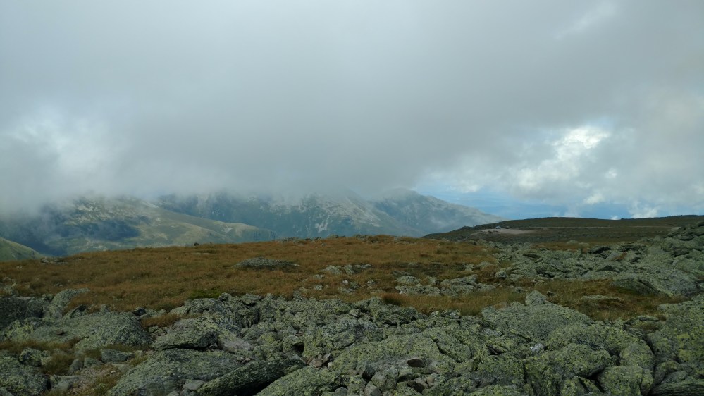
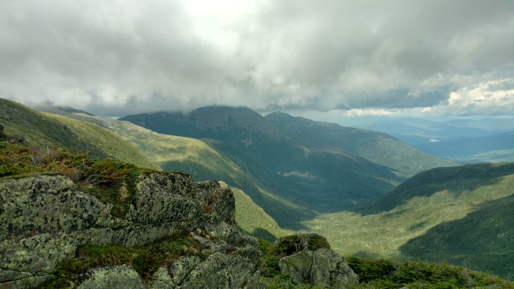
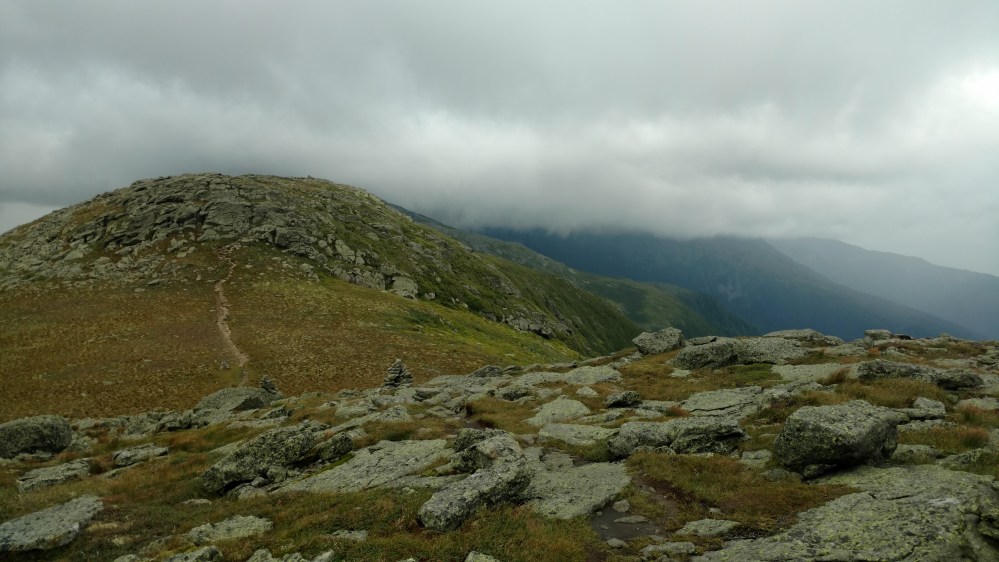
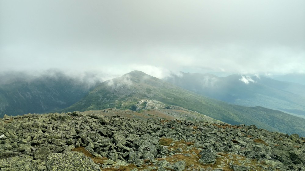
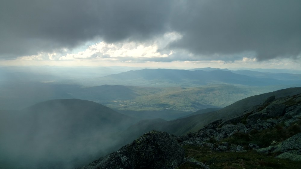
As we descended beneath the clouds, a spectacular view unfolded before us.
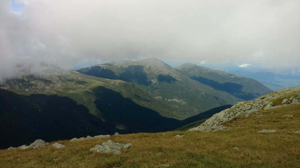

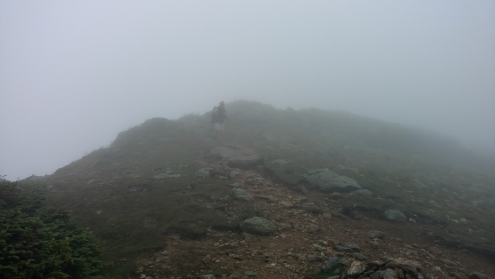
Soon, Stoat and I diverted onto the path that would lead us over Mt. Clay

As we were going over Mt Clay, we saw a small patch of rain headed our way. It was windy and cool enough out that wet clothes would be a problem. For the first time since the Smokys, we put our rain paints on.
The rain only lasted for 5 -10 minutes. As soon as it was over the rain pants came off.
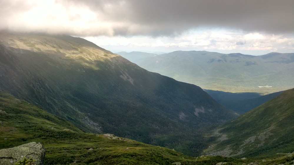
As we began to climb the shoulder of Mt Jefferson, more rain headed our way from the valley on the left. Before it made it to us, it changed direction and went up and over the mountain ahead of us and into the valley on our right. It was cool to see the effect that different air currents had on the rain drops.
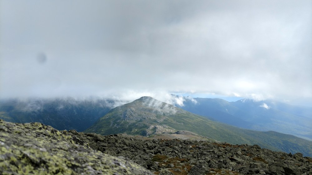


The views on the way down the other side of Jefferson were just as beautiful as the views from the summit.


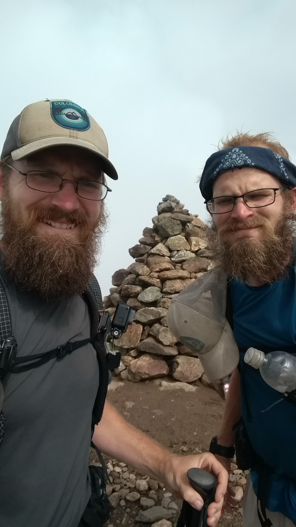
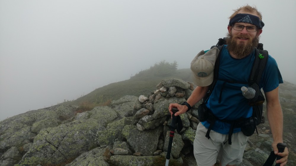
When we got to the turn off for Mt Adams,the final off trail peak of the day, I was tired. I asked Stoat if we should do the last one. “Of course! Come on!” While not the most motivational of speeches, it got me moving.
After another climb up a steep boulder field, we reached the top. At the summit there was a trail sign amongst the boulders.
At 5774 feet, we were back in the clouds again, and the wind was fierce.
I walked up to the second highest peak in New Hampshire and let out a primal howl.
It was the first time I felt the urge to do that in a long time. This time i didn’t even think of holding back.


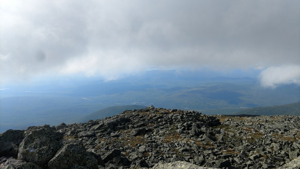
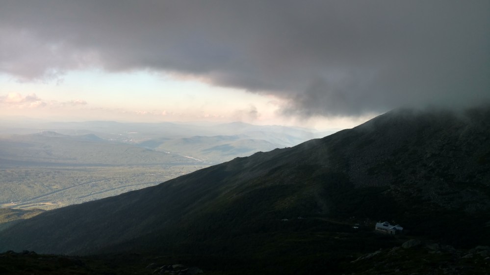
On our way back down, we came out of the clouds and had a very nice view.

The trail turned and soon we could see the Madison Springs hut.
When we got down to the hut, we inquired about work for stay. One of the Thru Hikers that got work for stay told us that they weren’t letting any other Thru Hikers in. He was smiling when he said it, and I had to resist the urge punch him. My thoughts must have shown on my face because the hikers smile faded. I reminded myself that I was tired and hungry and this poor guy was just trying to be nice. I forced myself to relax and thanked him for the info. His smile came back, and after a few more moments of conversation, we headed out.
There was a side trail that led to a campsite 0.6 miles from the hut. The side trail led steeply downhill. We quickly gave up on the idea of going to the campsite, and began to look for any open space around.
We soon found one. Even though it was late in the day, it wasn’t occupied. That’s because in the flat spots that would have been great for a tent, were a few large boulders. Not a problem for hammock campers.
The campsite was in a interesting spot. On one side of it was the trail. On the other side of it was a 20 to 25 foot cliff that was cut out by the mountain stream running at the bottom of it. On the edge of the cliff was a natural line of massive boulders that kept us from falling off. In fact, we didn’t even realize we were on the side of a cliff until we climbed up on the boulders to look around.
As we were setting up, we heard a shout come from a little ways downhill. It was Zeus and Flashfire! I went down real quick to say hi, and they let me know where the best spot to get access to the river was.
After eating, Stoat and I were ready for bed. The sun was setting and we had another big day planned for tomorrow. The sunset looked so nice that we had to see it before going to sleep. Stoat and I took turns standing on the edge of the cliff to see into the valley far below.
It was a great day.

