Day 138 – July 23 – 15.8 miles – Route 103 (Rutland) to Churchhill Scott Shelter
Elevation Change: 7943 feet
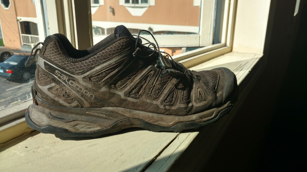
Before leaving the hotel, I had to take a picture of my old pair of shoes. They had carried me over 900 miles and I felt terrible about throwing them out. So I took a picture, and then quickly threw them in the trash before I could think about it any longer.
Stoat and I called a shuttle service to give us a ride back to the trail. It was nice not having to rely on luck to get us back to the trail on time.
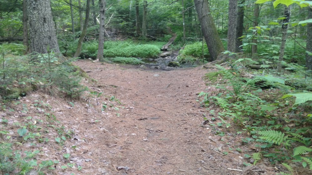
When we got back on trail, the first few miles brought us through a flatland section with on small climb thrown in.

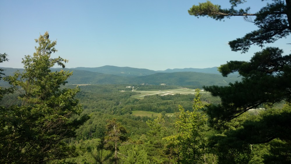
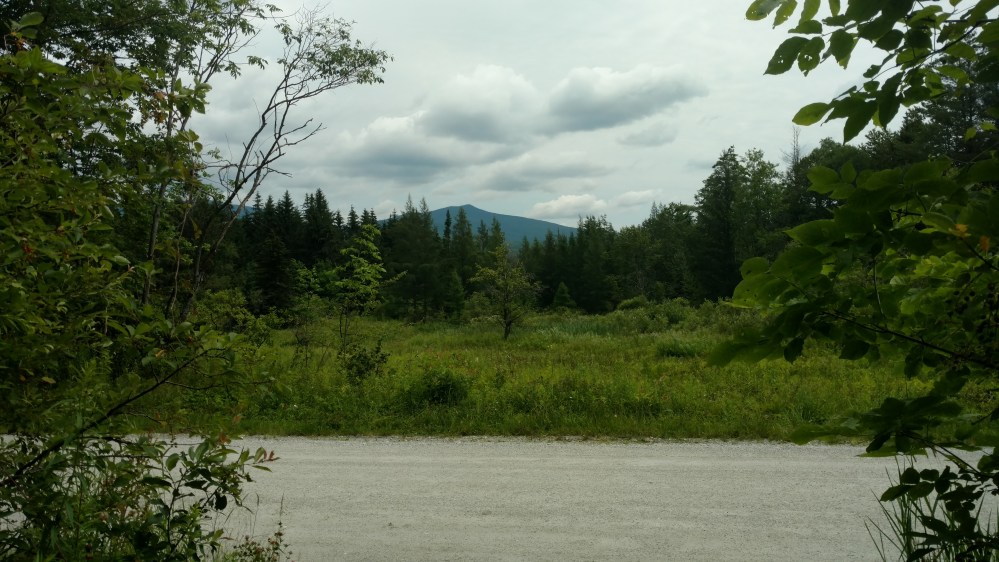
A few miles into the day, we came to a spot where we could see a large mountain off in the distance. A good rule of thumb on the trail is: If you see a big mountain the distance, odds are that the AT goes over it. The trail was going in that general direction so we figured it was Killington Mountain. The major mountain of the day.
We began to go up a gentle incline and our view gradually got better.
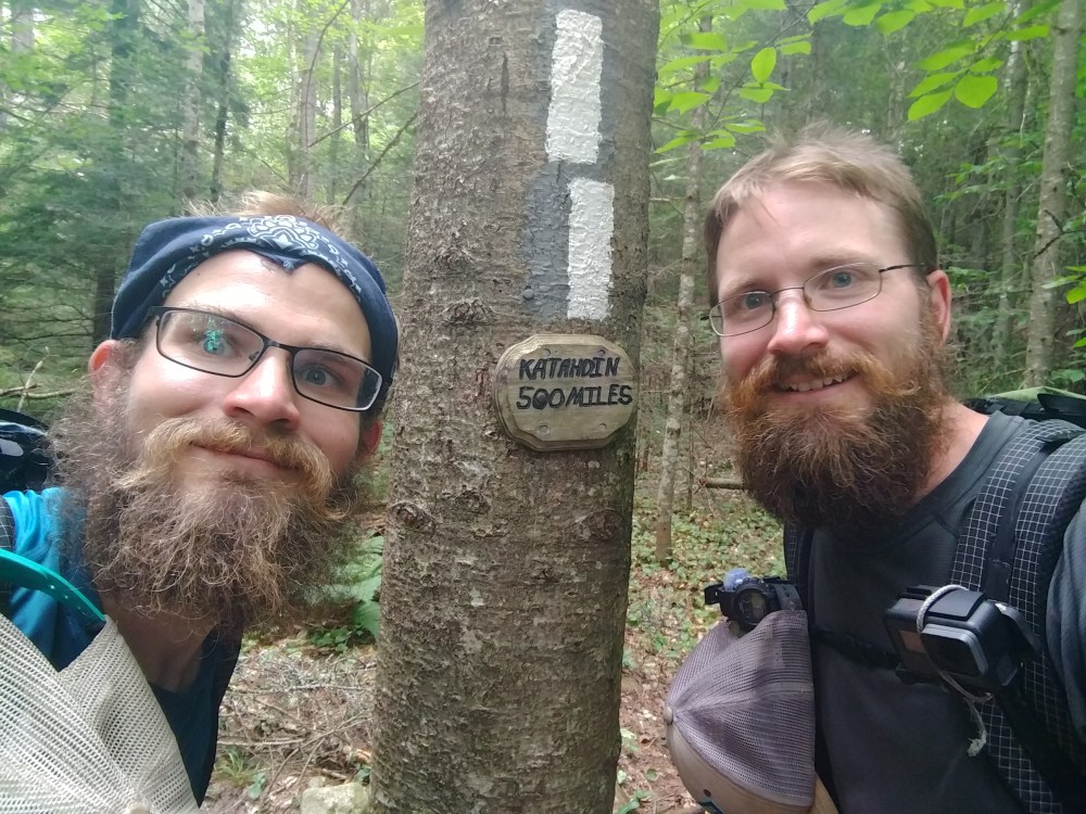
Soon we came to a sign that we had been keeping an eye out for.
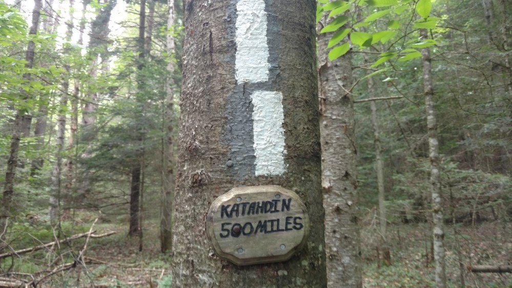
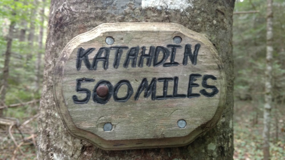
500 miles to Katahdin. South bounders would sing the “I would walk 500 miles” song here. Something that we did, what now felt like a long time ago, back in the Grayson Highlands. Never in my life had 500 miles seemed like such a short distance away.
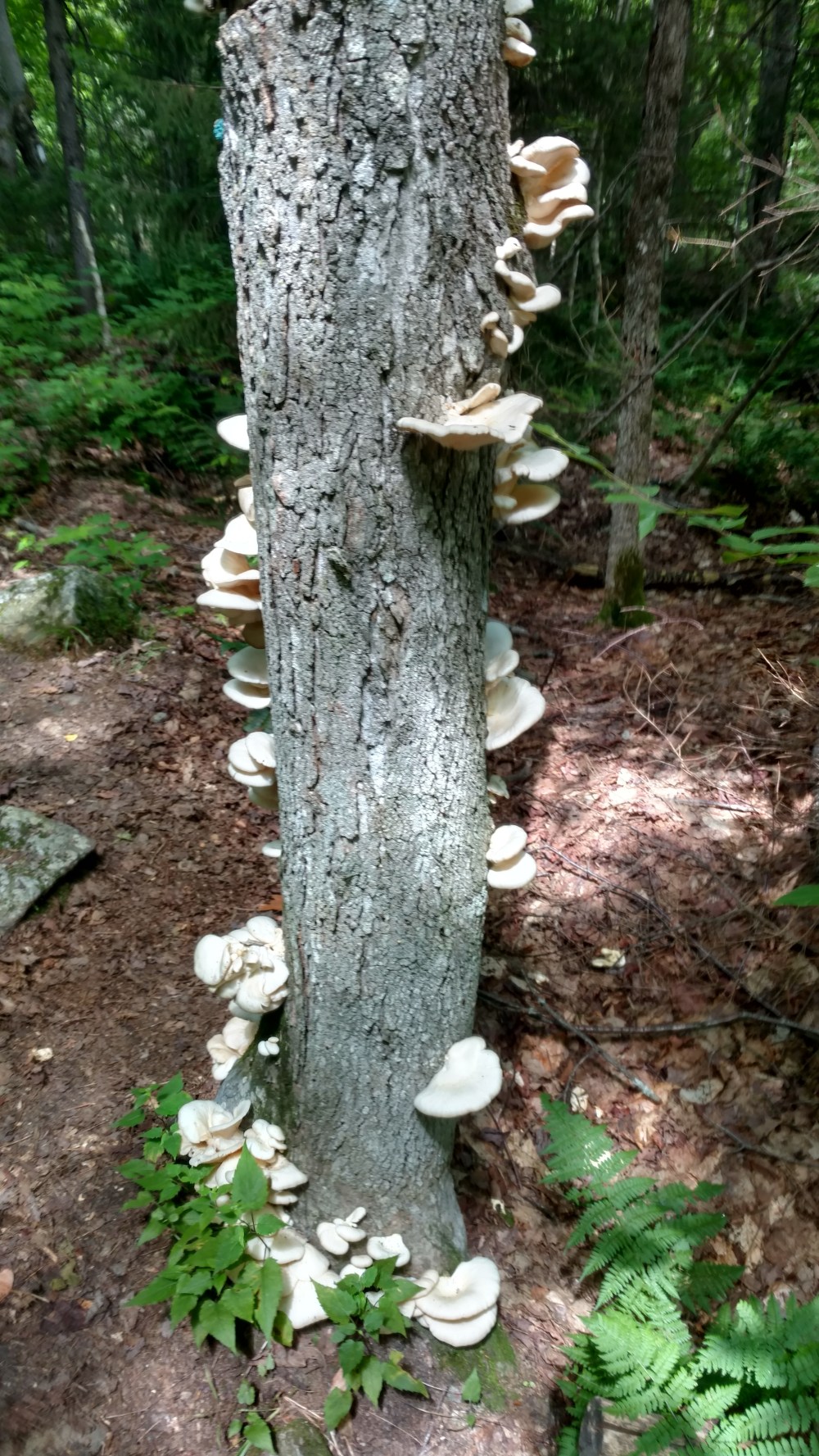
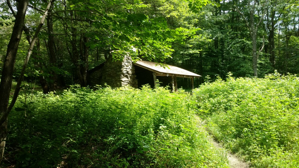
Shortly after the 500 mile sign, we came to the Governor Clement Shelter. There was a sign there that warned dog owners that the place was overpopulated with porcupines. To us that meant we had a good chance of seeing one. Awesome!

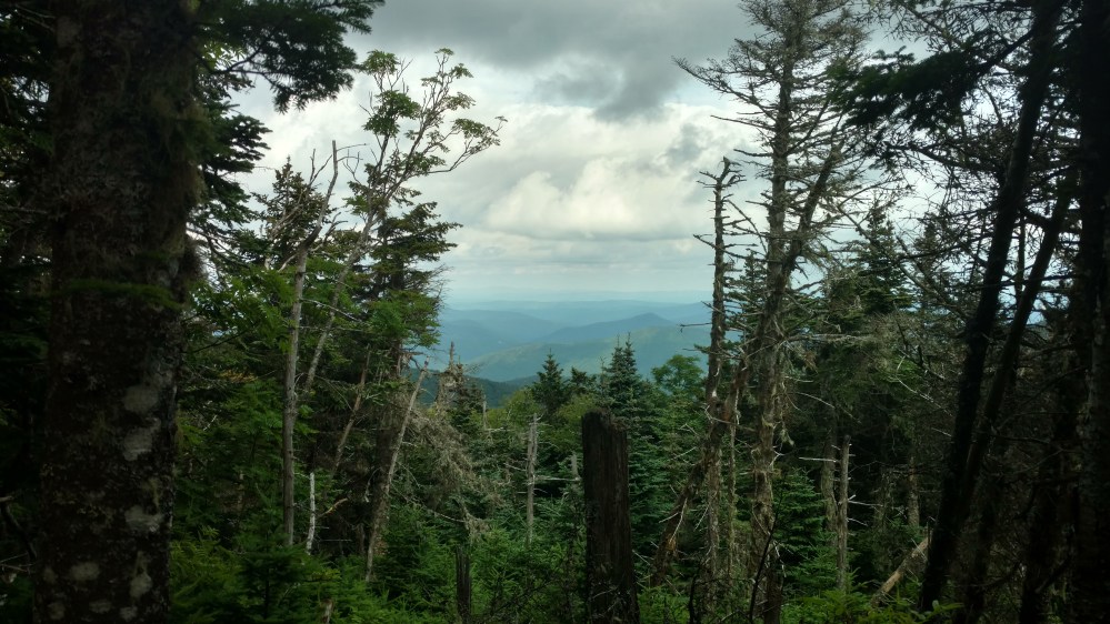
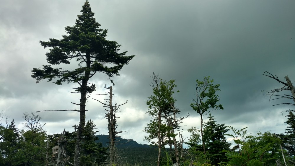
After passing the shelter, the trail became steeper and a lot more rugged.
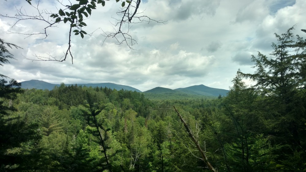
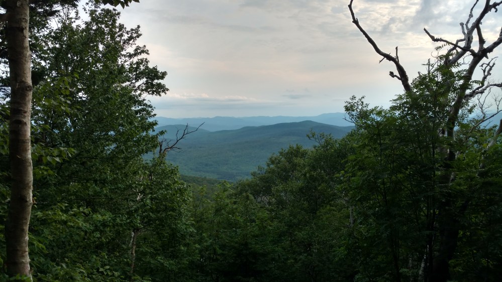
On the way up, we got a few views through the gaps in the trees.

When I got to the top of the mountain I waited for Stoat. His knee had begun to hurt on the way up, so he decided to take it slow.
Where I was waiting for Stoat technically wasn’t the true top of the mountain. To get to the true top, we wound have to go up a rocky, short, but very steep side trail.
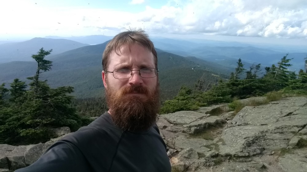
When Stoat showed up, he felt well enough to check it out. We dropped our packs and headed up to the top of Killington peak.
I followed Stoat up the trail. Near the top of the climb, Stoats foot nudged a very large rock. That small nudge was enough to dislodge it, and send it down the mountain. Thankfully I was paying attention ,and was able to get my hands on it before it moved too much. It was one heavy rock. More of a boulder really. Even though I stopped it from crushing my leg, I wasn’t in the best position. I needed to move, but if I took my hands off it the boulder, it would continue its fall, directly onto my legs. After carefully shifting around the boulder, I was able to get into a position to lift it out of the way. Thankfully, I was able to lift it enough to move out of the way. From many years working in construction, I got pretty good at estimating the weight of an object in my hands. If I had to give a conservative estimate on its weight, I would say it was between 75 to 85 pounds. That’s not something I would want landing on my foot, or hitting any part of me once it got up to speed.
Stoat caught the whole thing (kinda) on video.
The view at the top was stunning.
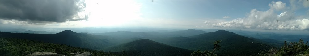
On the other side of the mountain were the restaurant and ski lifts that make up some of the Killington Ski Resort. The only evidence that we could see of the resort was a communication tower and a small shack. (not pictured)
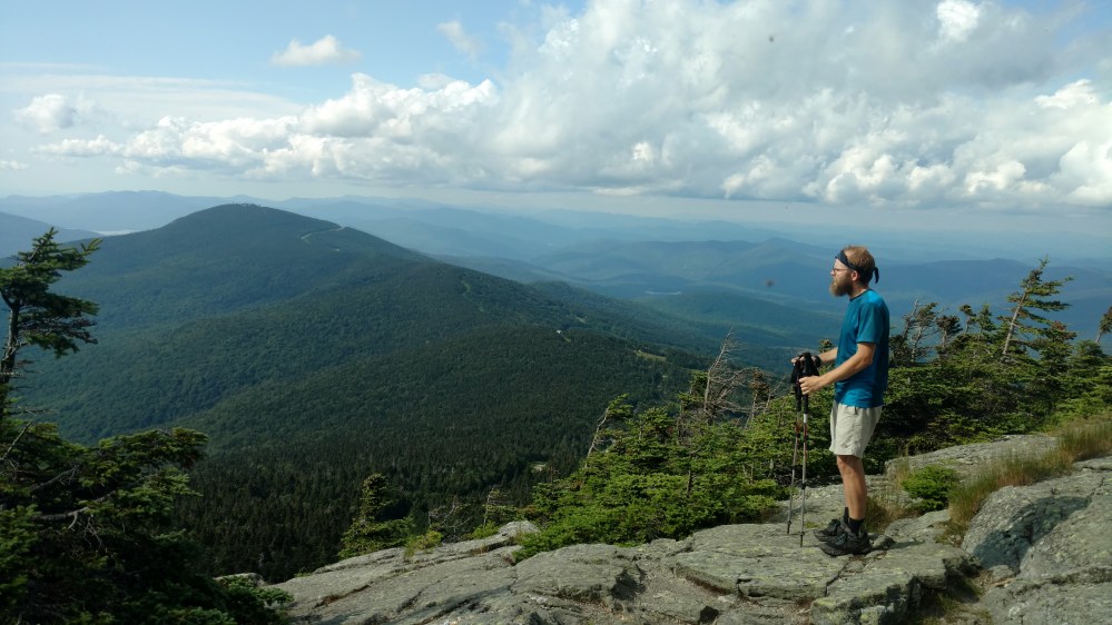

This was the first time we had been over 4000 feet since we were in Virginia, and it felt great! What did not feel great, were the swarms of flies that would engulf us anytime the wind died down.
We hung our there for a little while and then began our descent back down to the AT. This time without incident.
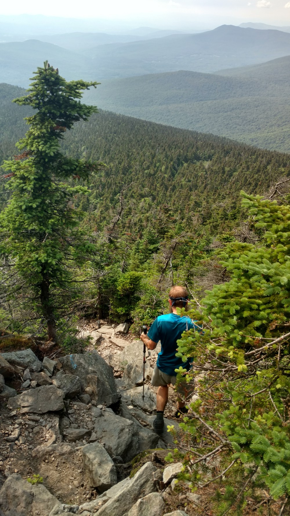
The remaining miles to the shelter were fairly easy and mostly downhill.
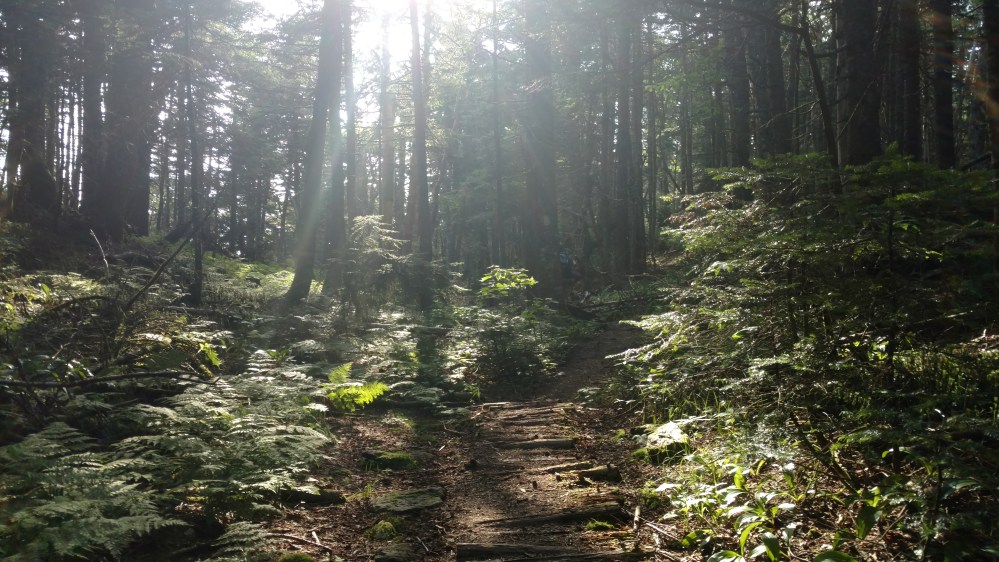
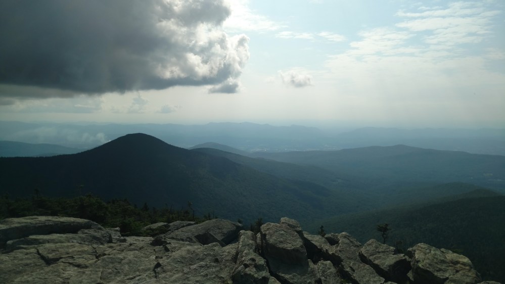
Just before we got to the shelter we were treated to one final view.
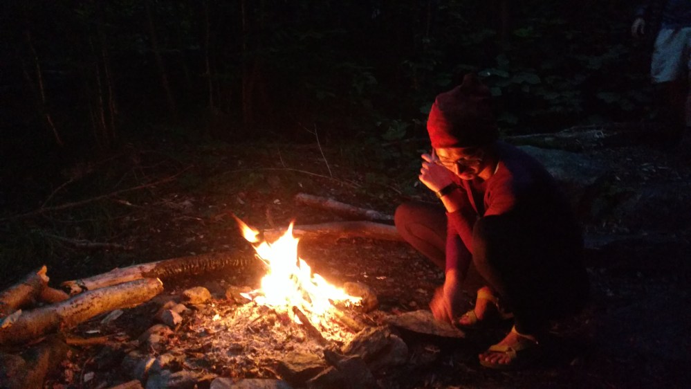
When we got to the shelter, Zeus and Flashfire were already there. They began to tell us all about their adventures aver the last few days, but I wasn’t listening very well. I had one thing on my mind, and that was FOOD. Zeus and Flashfire knew me too well by this point to be offended. Flashfire would often say, ” Don’t talk to Straps until after he’s eaten something.”
I was really hungry, but I was also really tired because I was really hungry. This caused me to take longer to make and eat dinner. By the time I was done eating, the light was quickly fading. Because if this, I decided to sleep inside the shelter instead of in my hammock. My hammock was so much more comfortable, but I didn’t have the energy, or the will, to set it up.
Flashfire made a small fire to keep some of the bugs away. By the time I fell asleep, the sounds of a crackling fire were replaced by the sound of rain drops hitting the roof.
__________________________________
We didn’t see any porcupines.
__________________________________
