Day 91 – June 6 – 10.4 miles – Mile Marker 1019.6 to Ed Garvey Shelter
Stoat and I hiked with Scarecrow and Rockstar on the way into Harpers Ferry. Not long after leaving camp we came to another Virginia / West Virginia State line sign. This time we definitely knew we were crossing the border line. Stoat and I exchanged high fives and took a picture.
Getting through Virginia was a big milestone for us. Virginia, at 554 miles, is the longest state on the trail.

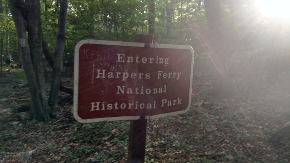
Not long after passing the border we were officially in Harpers Ferry.
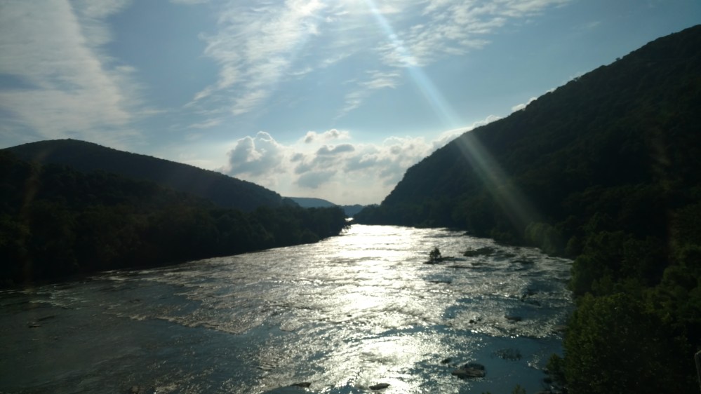
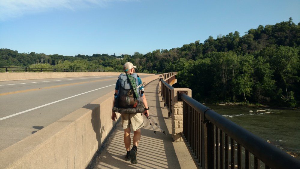
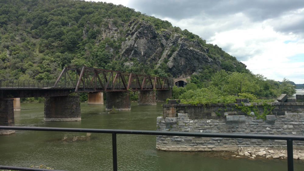
We crossed a bridge spanning the Shenandoah river. We had been paralleling the river for hundreds of miles and now we were finally crossing it.
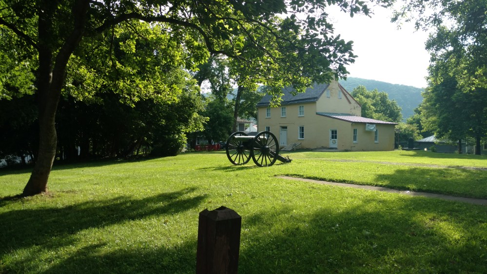
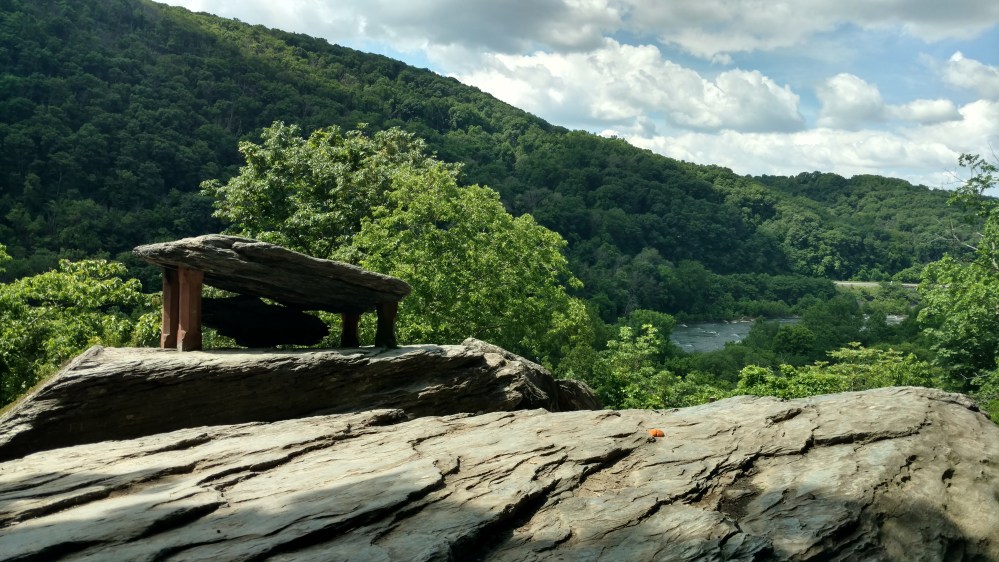
After crossing the bridge we walked onto what looked like some sort of school or museum property. The were plaques everywhere depicteding the history of the area. Apparently I was only interested in the cannon because I didn’t take pictures of anything else.
The ATC has a building in town where hikers traditionally get there picture taken and get a hiker number. We went over to check it out but it wasn’t open yet.
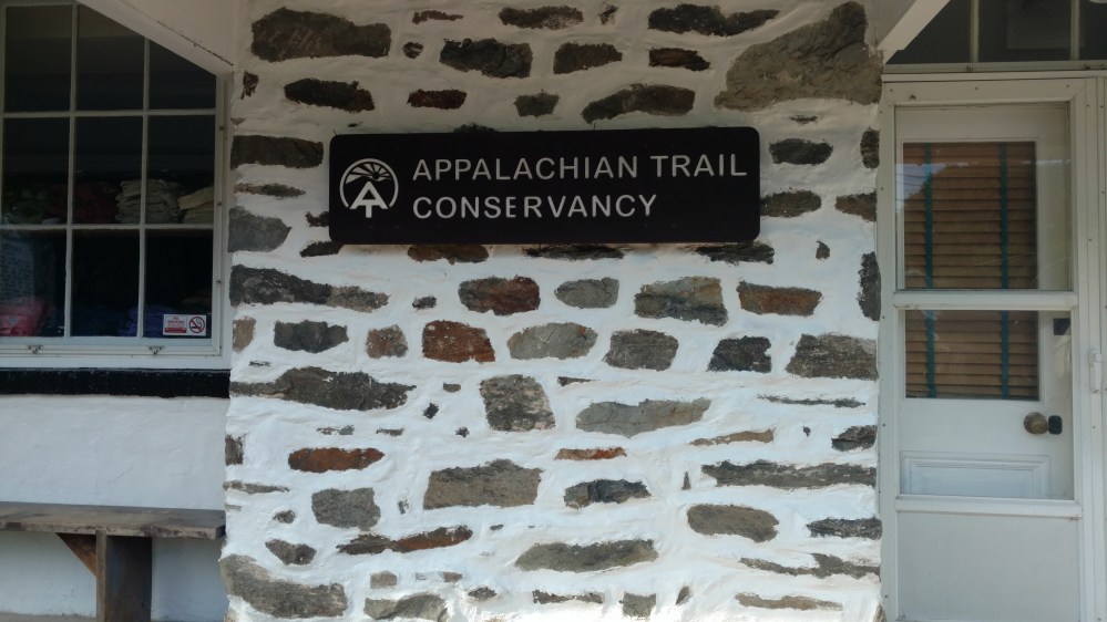
To kill some time, we went over to the Post Office to get our mail drops. By the time we got back to the ATC it was open.
The inside of the building it looked like a mini museum. There were displays describing different aspects of the trail. They also showcased some of the first Thru Hikers. What drew the most attention of thru hikers was the giant map of the AT. We could see how far we had come, and more importantly, how far we still had to go.
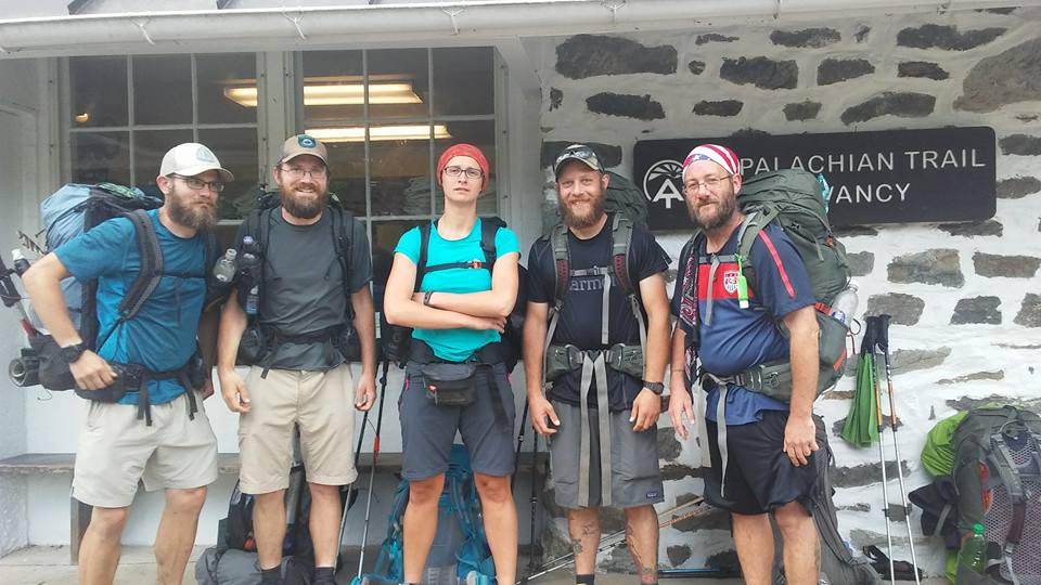
We got our picture taken and we were given hiker numbers. I was #593, Stoat was #594, and Scarecrow was #595.

We hung out there and little while and talked to some of the other Thru hikers that had come in. Soon Flashfire and Zeus showed up. They got to Harpers Ferry the night before and stayed at another couch surfing place. Now that the Tramily was complete, we had to take a picture of the whole group.

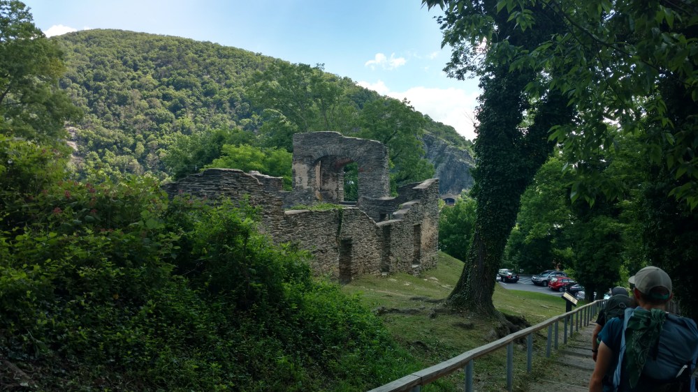
Soon after leaving the ATC we came to the historical section of Harpers Ferry.


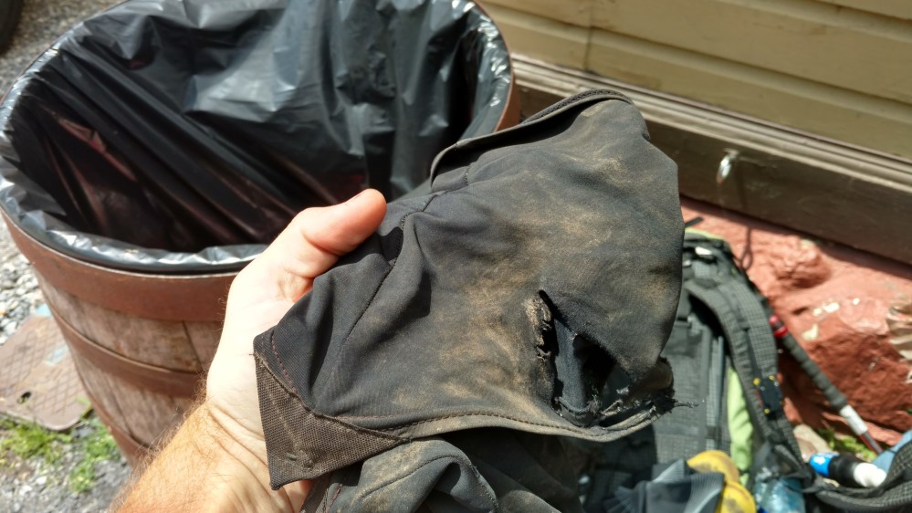
Once we got to the area where there were a lot of stores , we went over to the local outfitter. I picked up a new pair of gaiters to replace my worn out ones. I felt bad about throwing out my old ones. They had over 1000 miles on them and it felt wrong to just dump them in the trash. I took a picture and quickly tossed them out before I could change my mind.
After going to the outfitter, the Tramily ate at a local restaurant. We were about to get back on trail when we saw an ice cream shop. It was impossible to resist.
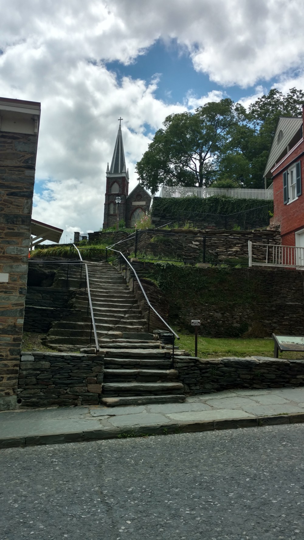
When we eventually got back on the trail, it took us down stone steps and through some back alleys.
None of the tourists milling about followed the path we were on. It was like we were in a thin strip of the town that only Thru Hikers could see.
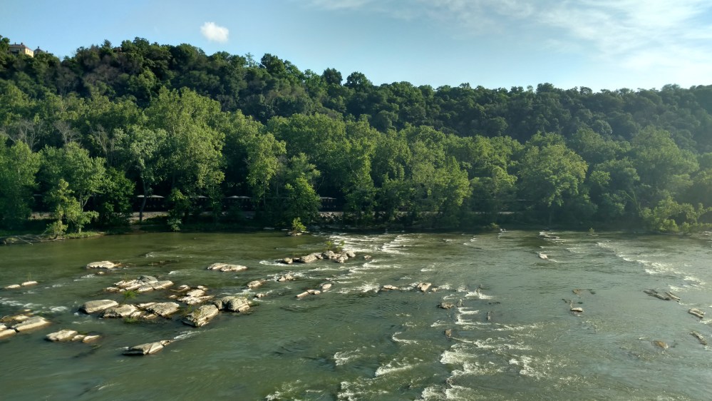
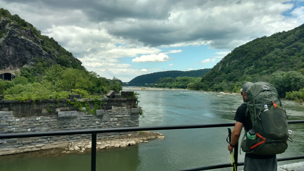
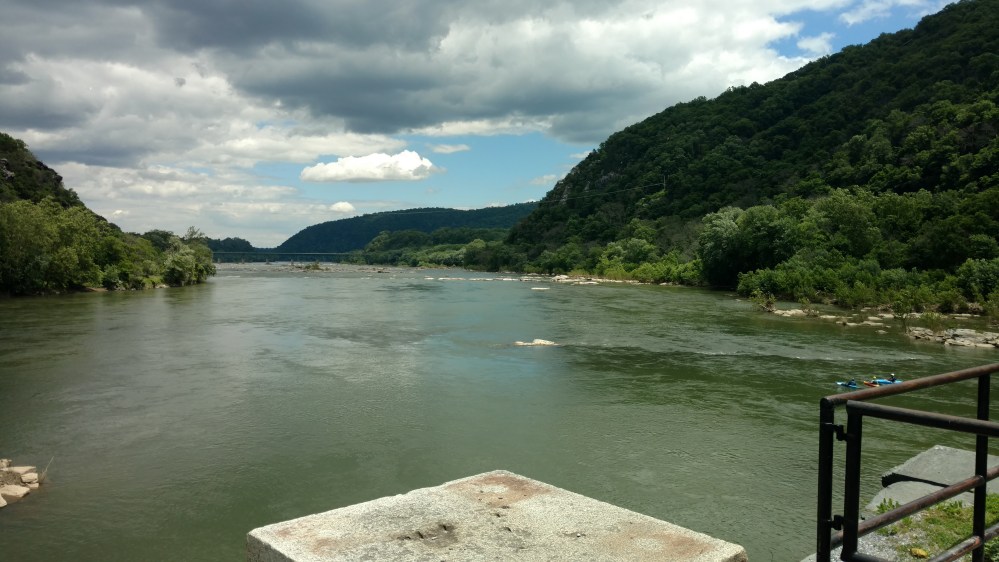
After going through the alleyways, we came to where the Shenandoah River and the Potomac River converged. The waters that we were looking at would flow east, past Washington D.C., into Chesapeake Bay, and finally the Atlantic Ocean. While our path would, hopefully, continue northward though 9 more states, coming to an end on a rocky peak in the vast wilderness of Maine.
We crossed a railroad bridge and suddenly realized that we were in Maryland. We didn’t see any sign but we traded high fives anyway.

Once entering Maryland the trail followed a old canal path for 3 miles. It was completely flat and it was absolutely awful. My body had grown accustomed to either going up or down a hill. Walking with regular strides on a flat level surface was now such an irregularity that my body didn’t quite know what to do. It also didn’t help that the scenery was became boring fairly quickly.

Thankfully there was a bridge and some turtles to break the monotony.


Finally the trail turned off the canal path and went back into the woods. Where we were greeted with a 900 foot climb. Ahhhh… home again.
After the climb, we came to the Ed Garvey shelter. Our stopping point for the day. Zeus and Flashfire were already there as well as some other hikers. The other hikers were having a conversation and one of the voices sounded familiar. I looked at one of them and said, “Are you Rocket?” He looked back at me and said, “Yeah, but who are you?” When I mentioned that my brother and I had met him in early March, he said, ” You’re the brothers form the article! I didn’t recognize you with the big beards!”
Rocket had started the same day we did, and we saw him periodically until our 11th day on trail. Now 80 days later, somehow, we met again on the trail.
Rocket introduced us to his female hiking partner Hamilton and the four of us hit it off pretty well.
When Zeus heard mention of the article yet again, he began to call us – The “World Famous” Jersey Boys. That had a nice ring to it.
____________________________________________________________________________________________
We had now passed Harpers Ferry. The mental halfway point. It was also the last major quitting point on the trail. I guess some people get there and say “We’re only halfway!!?” and give up. Sir-Packs-A-lot said once we get north of Harper Ferry, the likelihood of quitting due to a non injury event would be very low. Hopefully he was right about that.
_______________________________________________________________________________________________
The ATC has a very good online map of the AT. It has layers that can be added to see all the shelters on the trail, the more famous vistas, parking, etc. I’ve included the link below
https://nps.maps.arcgis.com/apps/webappviewer/index.html?id=6298c848ba2a490588b7f6d25453e4e0
